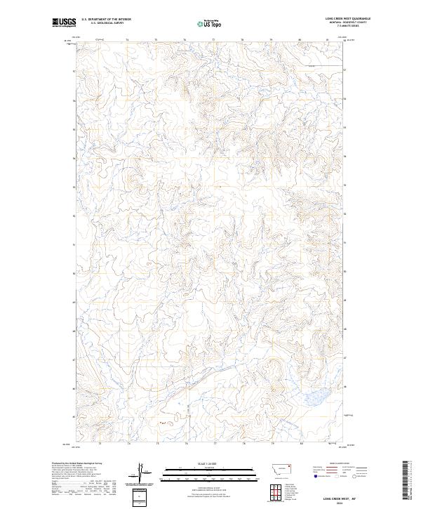
2024 Map of Long Creek West
USGS Topo · Published 2024About this map
Long Creek meanders through this section of the high plains in Roosevelt County, Montana, carving a complex network of coulees and drainage systems. This 2024 topographic study reveals a landscape defined by its hydrology, where Boxelder Creek and Little Badger Creek intersect the township boundaries of T29N and T30N. The terrain is sparsely developed, marked primarily by rural routes such as Co Rd 1056 and 2042 Rd. A singular Spring and the specialized identifier 30n49e11bbce01 highlight specific water and surveying points within the vast open country. The map illustrates how local topography dictates the movement of seasonal water through this northern Missouri River basin landscape, providing essential data for ranchers and land managers tracking the natural drainage of the Montana prairie.
Find a feature on this map
11 named features on this map. Tap any name to fly to it.
Don’t see what you’re looking for? This feature index may not catch every label — zoom into the map to look around manually.
Map Details
Editions of this 2024 Long Creek West Map
This is the sole edition of this map. No revisions or reprints were ever made.
Other maps of this area

1910 · Cuskers
USGS Topo · 1:62,500

1912 · Chelsea
USGS Topo · 1:62,500

1912 · Hay Creek
USGS Topo · 1:62,500

1912 · Poplar
USGS Topo · 1:62,500

1915 · Cuskers
USGS Topo · 1:62,500

1954 · Wolf Point
USGS Topo · 1:250,000

1958 · Wolf Point
USGS Topo · 1:250,000

1972 · Chelsea
USGS Topo · 1:24,000

1972 · Chelsea NW
USGS Topo · 1:24,000
1972 · Badger Creek
USGS Topo · 1:24,000