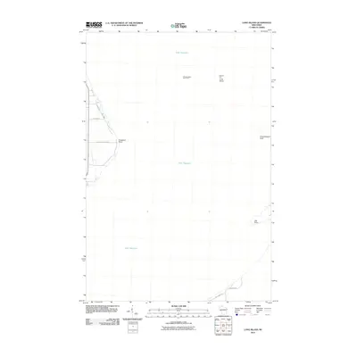
2010 Map of Long Island
USGS Topo · Published 2010About this map
Chequamegon Point Light and LaPointe Light guard the navigational approaches to the Chequamegon Bay on this coastal survey. The map details the slender geomorphology of Long Island and its extension into Chequamegon Point, features that shift over time due to the currents of Lake Superior. On the mainland shore, the landscape is defined by local access routes such as Houghton Falls Rd and Bodin Rd, leading toward prominent coastal features like Houghton Point. To the south, the shoreline curves near Oak Point, where roads like Bay Front Rd and Reykdahl Rd provide access to the bay’s edge. This 2010 edition documents the interface between the wooded shoreline and the open water before further natural or man-made changes altered these fragile sandbars and points.
Find a feature on this map
12 named features on this map. Tap any name to fly to it.
Don’t see what you’re looking for? This feature index may not catch every label — zoom into the map to look around manually.
Map Details
Editions of this 2010 Long Island Map
This is the sole edition of this map. No revisions or reprints were ever made.
Other maps of this area

1941 · Bayfield
USGS Topo · 1:48,000

1942 · Ashland
USGS Topo · 1:48,000

1943 · Odanah
USGS Topo · 1:48,000

1945 · Odanah
USGS Topo · 1:48,000

1946 · Bayfield
USGS Topo · 1:48,000

1947 · Ashland
USGS Topo · 1:48,000

1953 · Ashland
USGS Topo · 1:250,000

1958 · Ashland
USGS Topo · 1:250,000
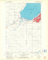
1964 · Ashland West
USGS Topo · 1:24,000
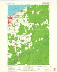
1964 · Ashland East
USGS Topo · 1:24,000