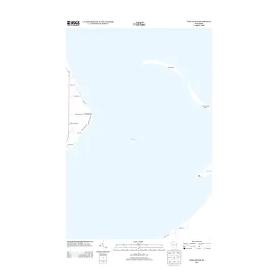
2013 Map of Long Island
USGS Topo · Published 2013About this map
Lake Superior dominates this coastal landscape, shaping the slender sand spits and rocky projections that define the Chequamegon Bay area. The landforms of Long Island and Chequamegon Point stretch across the water, serving as natural barriers against the open lake. Along the western shore, the terrain is marked by residential and service roads such as Bodin Rd and Frostman Rd, which lead toward the water's edge. A notable inland landmark is the Old Dairy Airport, situated just west of the residential clusters at Houghton Point. The geography here reflects a quiet, maritime-oriented community where the road network, including Houghton Falls Rd and N Houghton Point Rd, is dictated by the dramatic shoreline and the points reaching out into the bay.
Find a feature on this map
17 named features on this map. Tap any name to fly to it.
Don’t see what you’re looking for? This feature index may not catch every label — zoom into the map to look around manually.
Map Details
Editions of this 2013 Long Island Map
This is the sole edition of this map. No revisions or reprints were ever made.
Other maps of this area

1941 · Bayfield
USGS Topo · 1:48,000

1942 · Ashland
USGS Topo · 1:48,000

1943 · Odanah
USGS Topo · 1:48,000

1945 · Odanah
USGS Topo · 1:48,000

1946 · Bayfield
USGS Topo · 1:48,000

1947 · Ashland
USGS Topo · 1:48,000

1953 · Ashland
USGS Topo · 1:250,000

1958 · Ashland
USGS Topo · 1:250,000
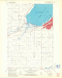
1964 · Ashland West
USGS Topo · 1:24,000
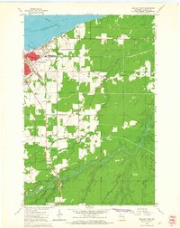
1964 · Ashland East
USGS Topo · 1:24,000