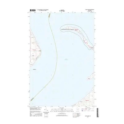
2015 Map of Long Island
USGS Topo · Published 2015About this map
Washburn sits along the western shoreline of Chequamegon Bay, serving as a coastal anchor in this 2015 survey of the Lake Superior coastline. The geography is defined by a series of narrow sand spits and peninsulas, most notably Long Island and the adjacent Chequamegon Point, which together form a protective barrier for the inner bay. These features are part of the Apostle Islands National Lakeshore, a protected landscape where shifting sands and shoreline processes remain evident.
Find a feature on this map
21 named features on this map. Tap any name to fly to it.
Don’t see what you’re looking for? This feature index may not catch every label — zoom into the map to look around manually.
Map Details
Editions of this 2015 Long Island Map
This is the sole edition of this map. No revisions or reprints were ever made.
Other maps of this area

1941 · Bayfield
USGS Topo · 1:48,000

1942 · Ashland
USGS Topo · 1:48,000

1943 · Odanah
USGS Topo · 1:48,000

1945 · Odanah
USGS Topo · 1:48,000

1946 · Bayfield
USGS Topo · 1:48,000

1947 · Ashland
USGS Topo · 1:48,000

1953 · Ashland
USGS Topo · 1:250,000

1958 · Ashland
USGS Topo · 1:250,000
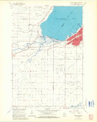
1964 · Ashland West
USGS Topo · 1:24,000
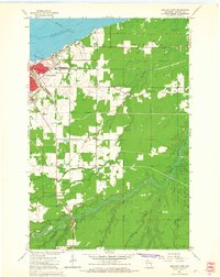
1964 · Ashland East
USGS Topo · 1:24,000