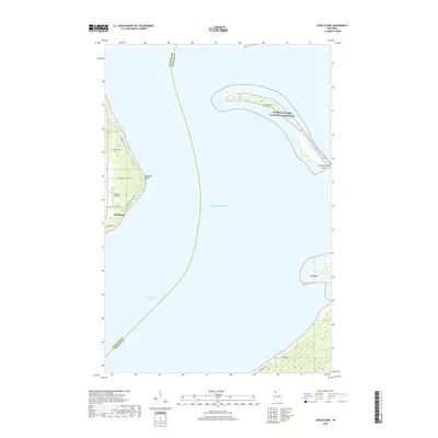
2018 Map of Long Island
USGS Topo · Published 2018About this map
Washburn sits on the western shore of Chequamegon Bay in this 2018 survey of the Lake Superior coastline. The map details the delicate barrier formations of the Apostle Islands National Lakeshore, including the slender arc of Long Island and its extension at Chequamegon Point. This coastal landscape reveals a mix of recreational shoreline and rural infrastructure, where local roads like Houghton Falls Rd and S Houghton Point Rd lead to prominent landforms such as Houghton Point. On the mainland, the Old Dairy Airport serves as a distinct landmark near the northern edge of the settlement. The boundary between Bayfield and Ashland counties runs through the open waters of Lake Superior, bisecting the bay and separating the mainland from the shifting sands of the Apostle Islands archipelago.
Find a feature on this map
18 named features on this map. Tap any name to fly to it.
Don’t see what you’re looking for? This feature index may not catch every label — zoom into the map to look around manually.
Map Details
Editions of this 2018 Long Island Map
This is the sole edition of this map. No revisions or reprints were ever made.
Other maps of this area

1941 · Bayfield
USGS Topo · 1:48,000

1942 · Ashland
USGS Topo · 1:48,000

1943 · Odanah
USGS Topo · 1:48,000

1945 · Odanah
USGS Topo · 1:48,000

1946 · Bayfield
USGS Topo · 1:48,000

1947 · Ashland
USGS Topo · 1:48,000

1953 · Ashland
USGS Topo · 1:250,000

1958 · Ashland
USGS Topo · 1:250,000
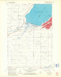
1964 · Ashland West
USGS Topo · 1:24,000
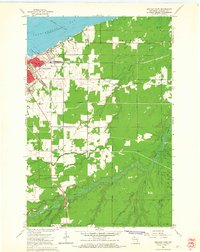
1964 · Ashland East
USGS Topo · 1:24,000