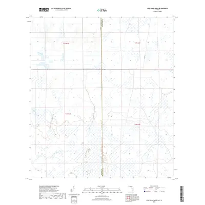
2018 Map of Long Island Marsh NE
USGS Topo · Published 2018About this map
Cow Slough and Split Lake anchor this 2018 topographic survey of the wetlands and marshy tracts along the border of Highlands and DeSoto counties. The landscape is defined by the extensive National Wetlands Inventory data, showing an intricate network of seasonal watercourses and saturated terrain. Transport through this portion of the Florida interior is sparse, limited to corridors like Co Line Rd and the unpaved path of Footman Trl. The survey provides a precise look at the township and range boundaries, including t37s r27e, which delineate the large, low-lying parcels of the region. This map is a record of the hydrological character of the Highlands county line area before any modern intensive development or drainage modifications reached these specific sections.
Find a feature on this map
10 named features on this map. Tap any name to fly to it.
Don’t see what you’re looking for? This feature index may not catch every label — zoom into the map to look around manually.
Map Details
Editions of this 2018 Long Island Marsh NE Map
This is the sole edition of this map. No revisions or reprints were ever made.
Other maps of this area

1953 · Lake June In Winter
USGS Topo · 1:24,000

1953 · Venus NW
USGS Topo · 1:24,000

1953 · Crewsville SE
USGS Topo · 1:24,000

1956 · Crewsville SW
USGS Topo · 1:24,000

1956 · Long Island Marsh SW
USGS Topo · 1:24,000

1956 · Fort Pierce
USGS Topo · 1:250,000

1957 · Long Island Marsh NW
USGS Topo · 1:24,000

1957 · Long Island Marsh SE
USGS Topo · 1:24,000

1957 · Venus SW
USGS Topo · 1:24,000

1957 · Long Island Marsh NE
USGS Topo · 1:24,000