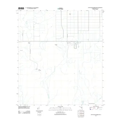
2012 Map of Long Island Marsh NW
USGS Topo · Published 2012About this map
The settlement of Joshua and the nearby Parker Ranch anchor this study of the interior Florida landscape in DeSoto County. This portion of the Gulf Coastal Plain is defined by its complex drainage network, where slow-moving water channels like Tiger Bay Slough and Slippery Slough navigate between slightly elevated hammocks and islands. The presence of Turkey Hammock and Sour Orange Hammock suggests the characteristic vegetation of the region, where hardwood clusters rise above the surrounding wetlands.
Find a feature on this map
15 named features on this map. Tap any name to fly to it.
Don’t see what you’re looking for? This feature index may not catch every label — zoom into the map to look around manually.
Map Details
Editions of this 2012 Long Island Marsh NW Map
This is the sole edition of this map. No revisions or reprints were ever made.
Other maps of this area

1953 · Crewsville SE
USGS Topo · 1:24,000

1956 · Gardner
USGS Topo · 1:24,000

1956 · Arcadia SE
USGS Topo · 1:24,000

1956 · Crewsville SW
USGS Topo · 1:24,000

1956 · Long Island Marsh SW
USGS Topo · 1:24,000

1956 · Fort Pierce
USGS Topo · 1:250,000

1957 · Long Island Marsh NW
USGS Topo · 1:24,000

1957 · Long Island Marsh SE
USGS Topo · 1:24,000

1957 · Arcadia
USGS Topo · 1:24,000

1957 · Long Island Marsh NE
USGS Topo · 1:24,000