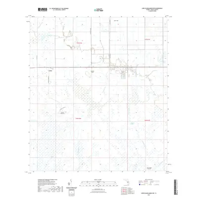
2021 Map of Long Island Marsh NW
USGS Topo · Published 2021About this map
Joshua serves as the primary landmark in this DeSoto County landscape, where the flat interior terrain is defined by an intricate network of wetlands and seasonal drainages. The area is characterized by scattered hammocks, including Turkey Hammock and the curiously named Sour-Orange Hammock, which provide slight elevation above the surrounding marshlands. These wooded islands in the marsh were often vital sites for early cattle ranching and settlement in the Florida interior. A complex system of waterways, from the sluggish Slippery Slough to the better-defined Joshua Cr, drains the territory southward towards larger river basins.
Find a feature on this map
23 named features on this map. Tap any name to fly to it.
Don’t see what you’re looking for? This feature index may not catch every label — zoom into the map to look around manually.
Map Details
Editions of this 2021 Long Island Marsh NW Map
This is the sole edition of this map. No revisions or reprints were ever made.
Other maps of this area

1953 · Crewsville SE
USGS Topo · 1:24,000

1956 · Gardner
USGS Topo · 1:24,000

1956 · Arcadia SE
USGS Topo · 1:24,000

1956 · Crewsville SW
USGS Topo · 1:24,000

1956 · Long Island Marsh SW
USGS Topo · 1:24,000

1956 · Fort Pierce
USGS Topo · 1:250,000

1957 · Long Island Marsh NW
USGS Topo · 1:24,000

1957 · Long Island Marsh SE
USGS Topo · 1:24,000

1957 · Arcadia
USGS Topo · 1:24,000

1957 · Long Island Marsh NE
USGS Topo · 1:24,000