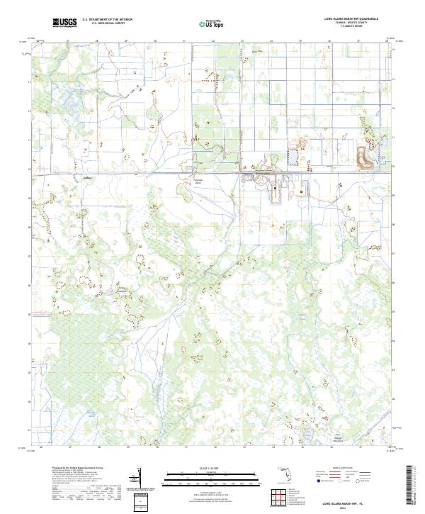
2024 Map of Long Island Marsh NW
USGS Topo · Published 2024About this map
Joshua is a focal point of settlement in this part of DeSoto County, situated where the high ground meets a complex network of wetlands. The landscape is defined by the transitions between flat woods and lower-lying basins like Sheep Pen Marsh and Tiger Bay. Numerous hammocks—islands of hardwood vegetation such as Turkey Hammock and Sour Orange Hammock—rise above the surrounding sawgrass and marsh, providing critical dry ground for early ranching and agriculture. Drainage patterns are influenced by sluggish waterways including Tiger Bay Slough, Slippery Slough, and Mossy Gully, which eventually feed toward Joshua Creek. Infrastructure such as NE Four Mile Grade and 4 Mile Grade Rd follows the long-established surveying lines of the Public Land Survey System, illustrating how human development has navigated this water-dominated environment.
Find a feature on this map
23 named features on this map. Tap any name to fly to it.
Don’t see what you’re looking for? This feature index may not catch every label — zoom into the map to look around manually.
Map Details
Editions of this 2024 Long Island Marsh NW Map
This is the sole edition of this map. No revisions or reprints were ever made.
Other maps of this area

1953 · Crewsville SE
USGS Topo · 1:24,000

1956 · Gardner
USGS Topo · 1:24,000

1956 · Arcadia SE
USGS Topo · 1:24,000

1956 · Crewsville SW
USGS Topo · 1:24,000

1956 · Long Island Marsh SW
USGS Topo · 1:24,000

1956 · Fort Pierce
USGS Topo · 1:250,000

1957 · Long Island Marsh NW
USGS Topo · 1:24,000

1957 · Long Island Marsh SE
USGS Topo · 1:24,000

1957 · Arcadia
USGS Topo · 1:24,000

1957 · Long Island Marsh NE
USGS Topo · 1:24,000