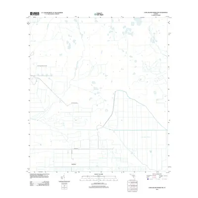
2012 Map of Long Island Marsh SW
USGS Topo · Published 2012About this map
Sparkman anchors the southern boundary of this Florida landscape, where the agricultural grid meets the drainage patterns of the coastal interior. The terrain is defined by a series of north-south waterways, including Myrtle Slough, Tiger Bay Slough, and Cow Slough, which feed into Prairie Cr. This network of sloughs illustrates the complex hydrology of the region, where natural drainage persists alongside modern land management. In the east, the expanse of Long Island Marsh remains a prominent natural feature, largely untouched by the heavy road development seen further west. The presence of the Prairie Creek Ranch Airport and a rectilinear network of roads like Farabee Rd and SE Pine Island Rd points to the area's use for ranching and light aviation in the early twenty-first century.
Find a feature on this map
10 named features on this map. Tap any name to fly to it.
Don’t see what you’re looking for? This feature index may not catch every label — zoom into the map to look around manually.
Map Details
Editions of this 2012 Long Island Marsh SW Map
This is the sole edition of this map. No revisions or reprints were ever made.
Other maps of this area

1956 · Arcadia SE
USGS Topo · 1:24,000

1956 · Telegraph Swamp NE
USGS Topo · 1:24,000

1956 · Telegraph Swamp NW
USGS Topo · 1:24,000

1956 · Long Island Marsh SW
USGS Topo · 1:24,000

1956 · Bermont
USGS Topo · 1:24,000

1956 · West Palm Beach
USGS Topo · 1:250,000

1956 · Fort Pierce
USGS Topo · 1:250,000

1957 · West Palm Beach
USGS Topo · 1:250,000

1957 · Long Island Marsh NW
USGS Topo · 1:24,000

1957 · Long Island Marsh SE
USGS Topo · 1:24,000