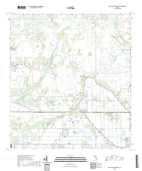
2024 Map of Long Island Marsh SW
USGS Topo · Published 2024About this map
Prairie Creek and Myrtle Slough define the wet, low-lying character of this section of the Florida interior, where the boundary between DeSoto County and Charlotte County runs through a landscape dominated by seasonal wetlands and drainage systems. This 2024 survey documents a territory defined by evocative water feature names like Sheep Pen Marsh, Tiger Bay Slough, and Rattlesnake Gully, alongside curious landmarks such as Cartoon Dog Lake and Lake Operation.
Find a feature on this map
22 named features on this map. Tap any name to fly to it.
Don’t see what you’re looking for? This feature index may not catch every label — zoom into the map to look around manually.
Map Details
Editions of this 2024 Long Island Marsh SW Map
This is the sole edition of this map. No revisions or reprints were ever made.
Other maps of this area

1956 · Arcadia SE
USGS Topo · 1:24,000

1956 · Telegraph Swamp NE
USGS Topo · 1:24,000

1956 · Telegraph Swamp NW
USGS Topo · 1:24,000

1956 · Long Island Marsh SW
USGS Topo · 1:24,000

1956 · Bermont
USGS Topo · 1:24,000

1956 · West Palm Beach
USGS Topo · 1:250,000

1956 · Fort Pierce
USGS Topo · 1:250,000

1957 · West Palm Beach
USGS Topo · 1:250,000

1957 · Long Island Marsh NW
USGS Topo · 1:24,000

1957 · Long Island Marsh SE
USGS Topo · 1:24,000