
1964 Map of Long Lake
USGS Topo · Published 1967About this map
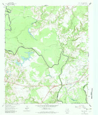
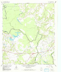
The Trinity River snakes through this 1960s landscape, marking the boundary between Anderson, Freestone, and Leon counties. This area is characterized by a complex network of oxbow lakes and sloughs, including Blue Lake, Big Lake, and the elongated Long Lake which gives the quadrangle its name. The interaction between the river and the land is punctuated by infrastructure like the Missouri Pacific railroad and a Gaging Sta.
Find a feature on this map
35 named features on this map. Tap any name to fly to it.
Don’t see what you’re looking for? This feature index may not catch every label — zoom into the map to look around manually.
Map Details
Editions of this 1964 Long Lake Map
3 editions found
Other maps of this area

1949 · Palestine
USGS Topo · 1:62,500

1949 · Tennessee Colony
USGS Topo · 1:62,500

1950 · Palestine
USGS Topo · 1:62,500

1950 · Tennessee Colony
USGS Topo · 1:62,500

1951 · Elkhart
USGS Topo · 1:62,500

1953 · Palestine
USGS Topo · 1:250,000

1957 · Palestine
USGS Topo · 1:250,000

1964 · Oakwood
USGS Topo · 1:24,000

1964 · Keechi
USGS Topo · 1:24,000
1964 · Butler
USGS Topo · 1:24,000