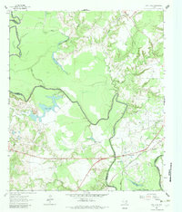
1964 Map of Long Lake
USGS Topo · Published 1983About this map
The Trinity River dominates this mid-century landscape along the borders of Anderson, Freestone, and Leon counties. A winding network of oxbow lakes and sloughs, including Big Lake, Blue Lake, and the namesake Long Lake, defines the low-lying basin where the river periodically shifts its course. The Long Lake Field points to the area's subterranean resources, marked by several Drill Hole locations and a Quarry south of the main river bend.
Find a feature on this map
34 named features on this map. Tap any name to fly to it.
Don’t see what you’re looking for? This feature index may not catch every label — zoom into the map to look around manually.
Map Details
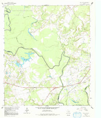
Editions of this 1964 Long Lake Map
3 editions found
Other maps of this area

1949 · Palestine
USGS Topo · 1:62,500

1949 · Tennessee Colony
USGS Topo · 1:62,500

1950 · Palestine
USGS Topo · 1:62,500

1950 · Tennessee Colony
USGS Topo · 1:62,500

1951 · Elkhart
USGS Topo · 1:62,500

1953 · Palestine
USGS Topo · 1:250,000

1957 · Palestine
USGS Topo · 1:250,000

1964 · Long Lake
USGS Topo · 1:24,000

1964 · Oakwood
USGS Topo · 1:24,000

1964 · Keechi
USGS Topo · 1:24,000