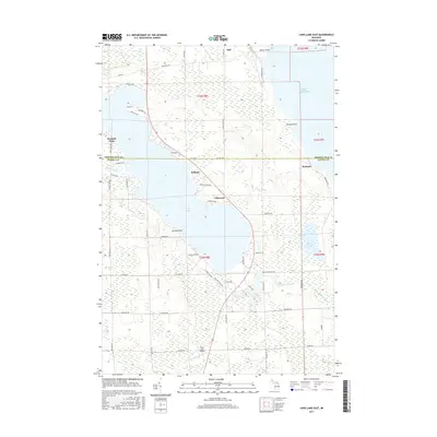
2017 Map of Long Lake East
USGS Topo · Published 2017About this map
Long Lake dominates this coastal landscape along the Lake Huron shoreline, where the boundary of Presque Isle and Alpena Counties divides the terrain. The map documents a corridor of lakeside residential and recreational development, anchored by small settlements such as Lakewood, Ashland, and Breezy Point. This era is defined by a dense network of local access roads like Maple Grove Rd and Long Lake Park Rd, reflecting the area's transition into a seasonal and residential retreat near the water.
Find a feature on this map
65 named features on this map. Tap any name to fly to it.
Don’t see what you’re looking for? This feature index may not catch every label — zoom into the map to look around manually.
Map Details
Editions of this 2017 Long Lake East Map
This is the sole edition of this map. No revisions or reprints were ever made.
Other maps of this area

1954 · Alpena
USGS Topo · 1:250,000

1957 · Alpena
USGS Topo · 1:250,000

1958 · Alpena
USGS Topo · 1:250,000

1969 · Alpena
USGS Topo · 1:250,000

1971 · Lake Winyah
USGS Topo · 1:24,000
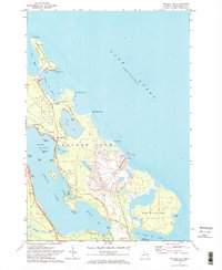
1971 · Presque Isle
USGS Topo · 1:24,000

1971 · Long Lake West
USGS Topo · 1:24,000

1971 · Alpena
USGS Topo · 1:24,000
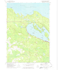
1971 · Thompsons Harbor
USGS Topo · 1:24,000

1971 · Middle Island
USGS Topo · 1:24,000