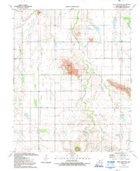
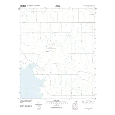
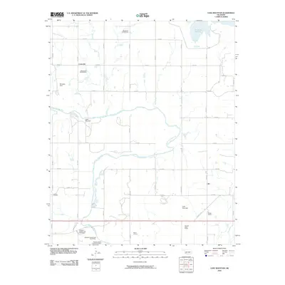
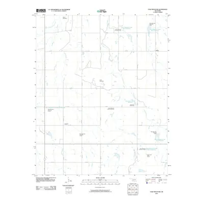
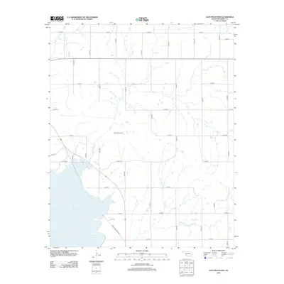
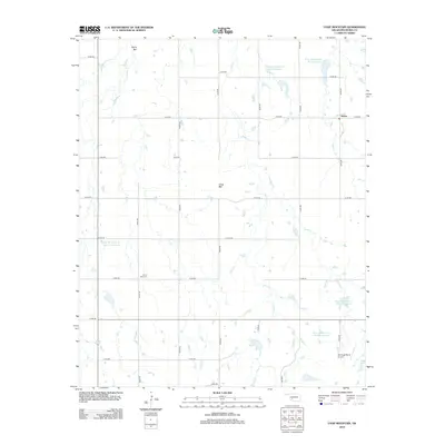
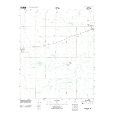
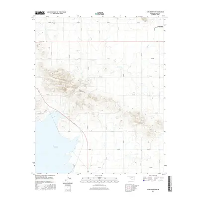
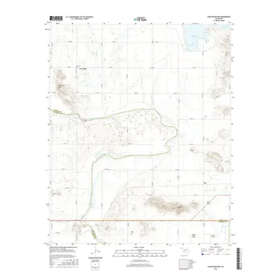
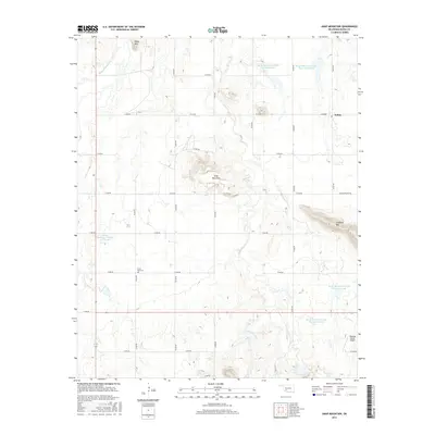
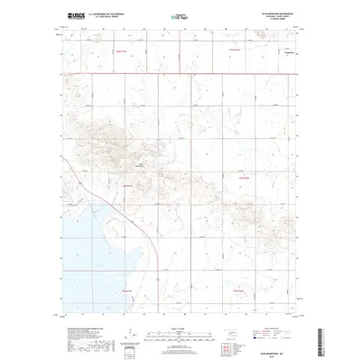
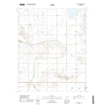
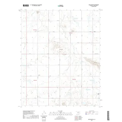
1964 Map of Long Mountain
USGS Topo · Published 1977About this map
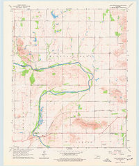
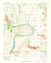
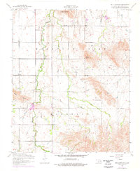
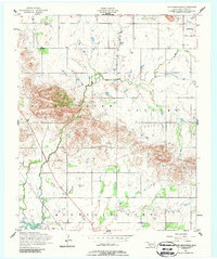
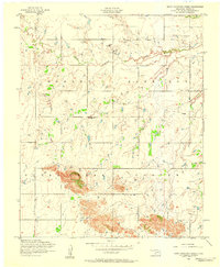
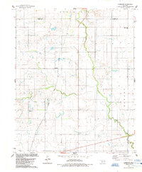
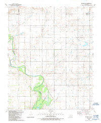
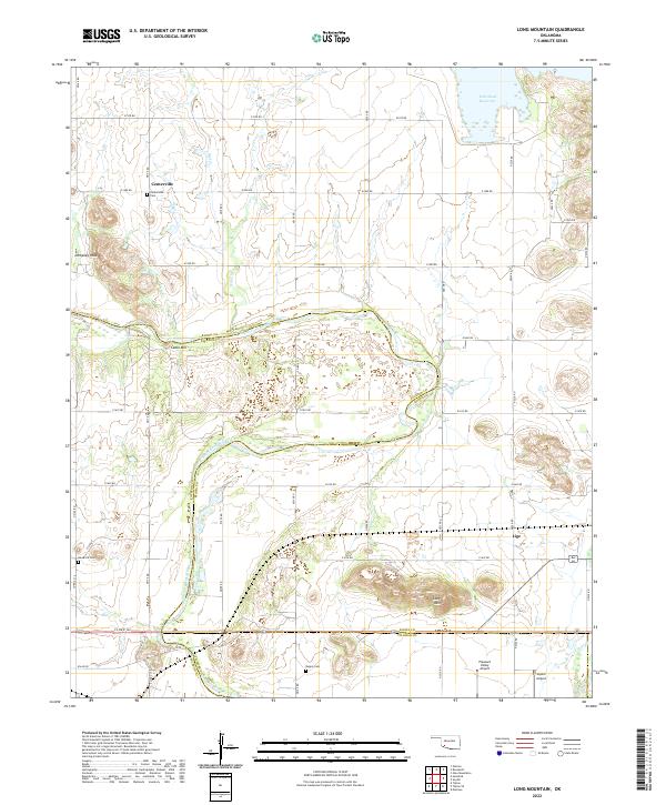
North Fork Red River carves a winding path through the heart of this mid-1960s landscape, serving as a defining boundary between Kiowa, Tillman, and Jackson Counties. The region reflects a mix of small-scale aviation and rural infrastructure, anchored by the Pleasant Valley Landing Strip and a Gaging Sta along the riverbanks. Named peaks like Dempsey Peak and Long Mountain rise above the terrain, while the St Louis - San Francisco railroad provides a primary transport corridor for local industry, connecting to various Quarries and Sandpits. Researchers focusing on genealogy will find specific interest in Headrick Cem and Rogers Cem, alongside small residential clusters at Centerville and Lige. The map captures a moment of active resource extraction and established rural life before modern expansion shifted these remote Oklahoma outposts.
Find a feature on this map
23 named features on this map. Tap any name to fly to it.
Don’t see what you’re looking for? This feature index may not catch every label — zoom into the map to look around manually.
Map Details
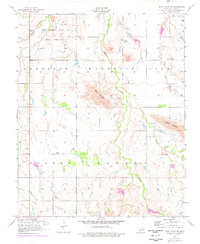
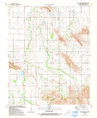
Editions of this 1964 Long Mountain Map
2 editions found
Historical Maps of Centerville Through Time
76 maps found
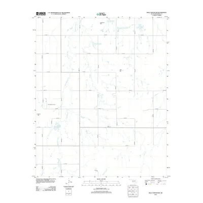
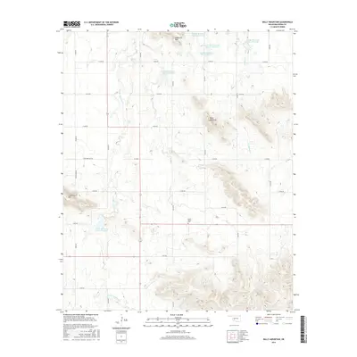
1956 Bally Mountain
Kiowa County, OK
1956 Glen Mountains
Kiowa County, OK
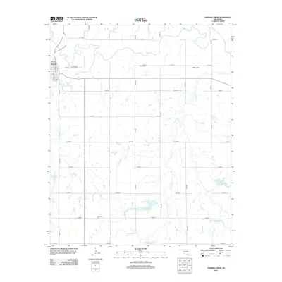
1956 Rainy Mountain Creek
Kiowa County, OK
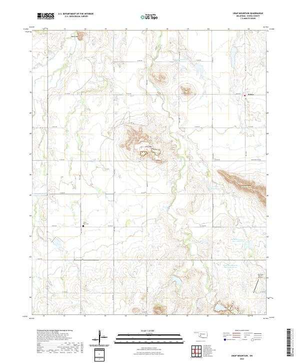
1956 Unap Mountain
Kiowa County, OK
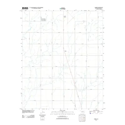
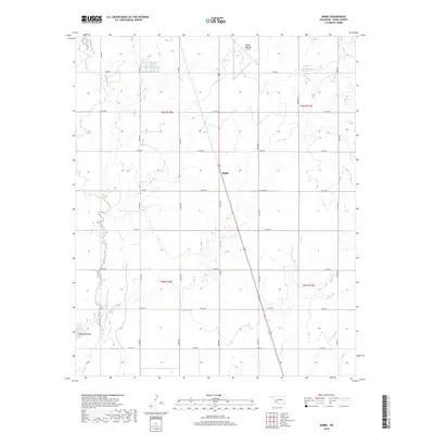
1963 Babbs
Kiowa County, OK
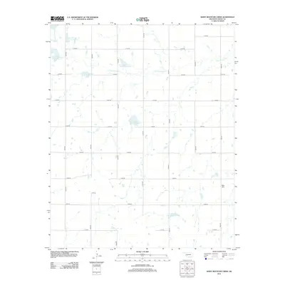
1964 Long Mountain
Kiowa County, OK
1971 Lake Altus
Kiowa County, OK
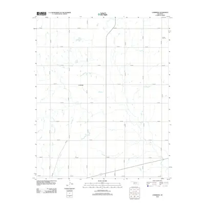
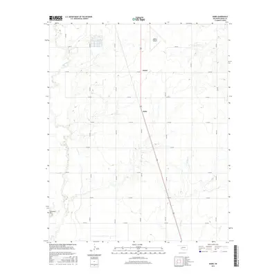
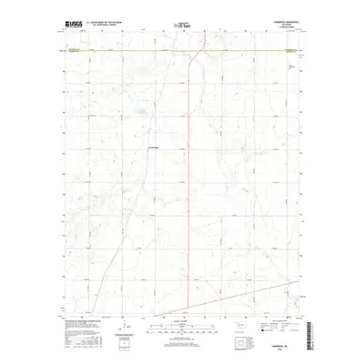
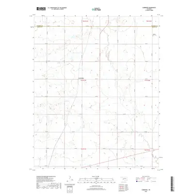
1984 Cambridge
Kiowa County, OK
1984 Gotebo East
Kiowa County, OK
1984 Gotebo West
Kiowa County, OK
1984 Stinking Creek
Kiowa County, OK
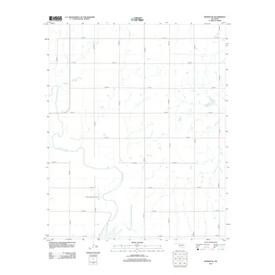
1989 Retrop SE
Kiowa County, OK
1991 Bally Mountain
Kiowa County, OK
1991 Glen Mountains
Kiowa County, OK
1991 Rainy Mountain Creek
Kiowa County, OK
1991 Unap Mountain
Kiowa County, OK
2010 Babbs
Kiowa County, OK
2010 Bally Mountain
Kiowa County, OK
2010 Cambridge
Kiowa County, OK
2010 Glen Mountains
Kiowa County, OK
2010 Gotebo East
Kiowa County, OK
2010 Gotebo West
Kiowa County, OK
2010 Lake Altus
Kiowa County, OK
2010 Long Mountain
Kiowa County, OK
2010 Rainy Mountain Creek
Kiowa County, OK
2010 Retrop SE
Kiowa County, OK
2010 Stinking Creek
Kiowa County, OK
2010 Unap Mountain
Kiowa County, OK
2012 Babbs
Kiowa County, OK
2012 Bally Mountain
Kiowa County, OK
2012 Cambridge
Kiowa County, OK
2012 Glen Mountains
Kiowa County, OK
2012 Gotebo West
Kiowa County, OK
2012 Lake Altus
Kiowa County, OK
2012 Long Mountain
Kiowa County, OK
2012 Rainy Mountain Creek
Kiowa County, OK
2012 Retrop SE
Kiowa County, OK
2012 Stinking Creek
Kiowa County, OK
2012 Unap Mountain
Kiowa County, OK
2013 Gotebo East
Kiowa County, OK
2016 Babbs
Kiowa County, OK
2016 Bally Mountain
Kiowa County, OK
2016 Cambridge
Kiowa County, OK
2016 Glen Mountains
Kiowa County, OK
2016 Gotebo East
Kiowa County, OK
2016 Gotebo West
Kiowa County, OK
2016 Lake Altus
Kiowa County, OK
2016 Long Mountain
Kiowa County, OK
2016 Rainy Mountain Creek
Kiowa County, OK
2016 Retrop SE
Kiowa County, OK
2016 Stinking Creek
Kiowa County, OK
2016 Unap Mountain
Kiowa County, OK
2018 Babbs
Kiowa County, OK
2018 Bally Mountain
Kiowa County, OK
2018 Cambridge
Kiowa County, OK
2018 Glen Mountains
Kiowa County, OK
2018 Gotebo East
Kiowa County, OK
2018 Gotebo West
Kiowa County, OK
2018 Lake Altus
Kiowa County, OK
2018 Long Mountain
Kiowa County, OK
2018 Rainy Mountain Creek
Kiowa County, OK
2018 Retrop SE
Kiowa County, OK
2018 Stinking Creek
Kiowa County, OK
2018 Unap Mountain
Kiowa County, OK
2022 Babbs
Kiowa County, OK
2022 Bally Mountain
Kiowa County, OK
2022 Cambridge
Kiowa County, OK
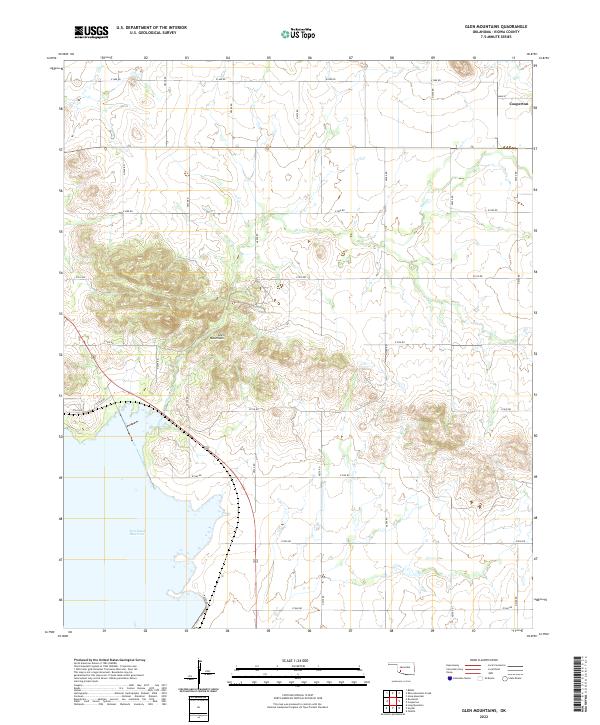
2022 Glen Mountains
Kiowa County, OK
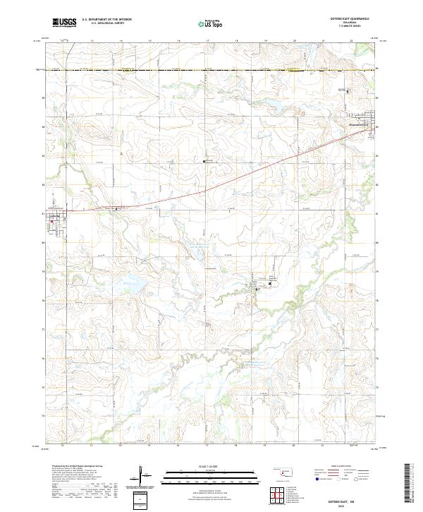
2022 Gotebo East
Kiowa County, OK
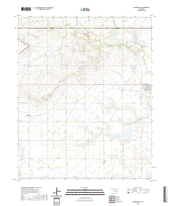
2022 Gotebo West
Kiowa County, OK
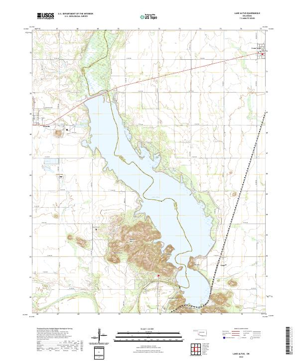
2022 Lake Altus
Kiowa County, OK
2022 Long Mountain
Kiowa County, OK
2022 Rainy Mountain Creek
Kiowa County, OK
2022 Retrop SE
Kiowa County, OK
2022 Stinking Creek
Kiowa County, OK
2022 Unap Mountain
Kiowa County, OK