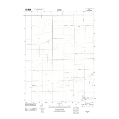
2012 Map of Long Point
USGS Topo · Published 2012About this map
Long Point anchors the southern portion of this Livingston County landscape, a region defined by a precise grid of agricultural roads and the meandering courses of several local waterways. The settlement patterns of Munster, Garfield, and Leeds reflect the rural development of central Illinois, where small hamlets provided essential hubs for the surrounding farming community. Natural drainage is shaped by Eagle Cr in the north and Moon Cr and Prairie Cr further south, eventually giving way to Long Point Cr near the primary township.
Find a feature on this map
50 named features on this map. Tap any name to fly to it.
Don’t see what you’re looking for? This feature index may not catch every label — zoom into the map to look around manually.
Map Details
Editions of this 2012 Long Point Map
This is the sole edition of this map. No revisions or reprints were ever made.
Other maps of this area

1925 · Streator
USGS Topo · 1:62,500

1927 · Streator
USGS Topo · 1:62,500

1934 · Wenona
USGS Topo · 1:48,000

1939 · Wenona
USGS Topo · 1:62,500

1955 · Minonk
USGS Topo · 1:62,500

1958 · Flanagan
USGS Topo · 1:62,500

1958 · Aurora
USGS Topo · 1:250,000

1958 · Peoria
USGS Topo · 1:250,000

1961 · Aurora
USGS Topo · 1:250,000

1961 · Peoria
USGS Topo · 1:250,000