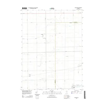
2015 Map of Long Point
USGS Topo · Published 2015About this map
Long Point and the surrounding agricultural landscape of the LaSalle and Livingston county line are defined by a precise grid of rural roads and the winding paths of local waterways. This 2015 survey illustrates a region where small settlements like Munster, Garfield, and Leeds serve as local hubs for a community connected by routes such as N 13th Rd and E 12th Rd. The terrain is drained by Eagle Creek in the north and Long Point Creek in the south, which create gentle breaks in the otherwise geometric fields. Local history is anchored by the Long Point Cemetary and Ancona Cemetery, while Frings Airport provides a distinct modern landmark among the traditional farmsteads. The map reveals the persistence of these small Illinois communities and their infrastructure in the early 21st century.
Find a feature on this map
35 named features on this map. Tap any name to fly to it.
Don’t see what you’re looking for? This feature index may not catch every label — zoom into the map to look around manually.
Map Details
Editions of this 2015 Long Point Map
This is the sole edition of this map. No revisions or reprints were ever made.
Other maps of this area

1925 · Streator
USGS Topo · 1:62,500

1927 · Streator
USGS Topo · 1:62,500

1934 · Wenona
USGS Topo · 1:48,000

1939 · Wenona
USGS Topo · 1:62,500

1955 · Minonk
USGS Topo · 1:62,500

1958 · Flanagan
USGS Topo · 1:62,500

1958 · Aurora
USGS Topo · 1:250,000

1958 · Peoria
USGS Topo · 1:250,000

1961 · Aurora
USGS Topo · 1:250,000

1961 · Peoria
USGS Topo · 1:250,000