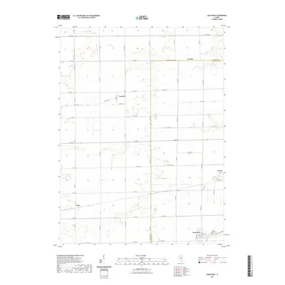
2021 Map of Long Point
USGS Topo · Published 2021About this map
Long Point and the surrounding agricultural landscape of the Illinois prairie are documented in this recent survey along the border of LaSalle and Livingston counties. Small unincorporated settlements including Ancona, Munster, Garfield, and Leeds define the rural residential pattern, connected by a rigid grid of country roads such as Co Hwy 7 and E 12th Rd. Local genealogy is anchored by the Ancona Cem and Long Point Cem, providing vital reference points for researchers. The terrain is gently shaped by several winding waterways, including Eagle Cr, Moon Cr, and Prairie Cr, which cut through the rectilinear farm plots. Near the southern edge, Long Point Cr flows past the village, illustrating the long-standing relationship between these small communities and the local drainage systems that support the regional grain economy.
Find a feature on this map
48 named features on this map. Tap any name to fly to it.
Don’t see what you’re looking for? This feature index may not catch every label — zoom into the map to look around manually.
Map Details
Editions of this 2021 Long Point Map
This is the sole edition of this map. No revisions or reprints were ever made.
Other maps of this area

1925 · Streator
USGS Topo · 1:62,500

1927 · Streator
USGS Topo · 1:62,500

1934 · Wenona
USGS Topo · 1:48,000

1939 · Wenona
USGS Topo · 1:62,500

1955 · Minonk
USGS Topo · 1:62,500

1958 · Flanagan
USGS Topo · 1:62,500

1958 · Aurora
USGS Topo · 1:250,000

1958 · Peoria
USGS Topo · 1:250,000

1961 · Aurora
USGS Topo · 1:250,000

1961 · Peoria
USGS Topo · 1:250,000