2024 Map of Long Point
USGS Topo · Published 2024About this map
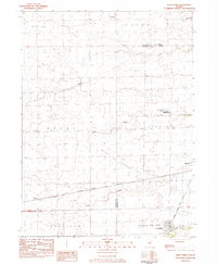
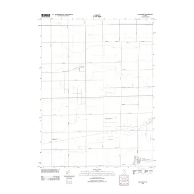
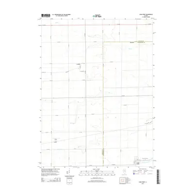
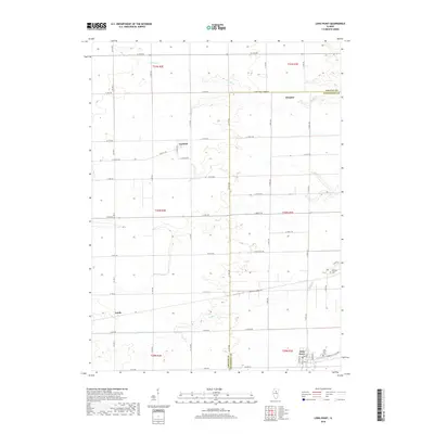
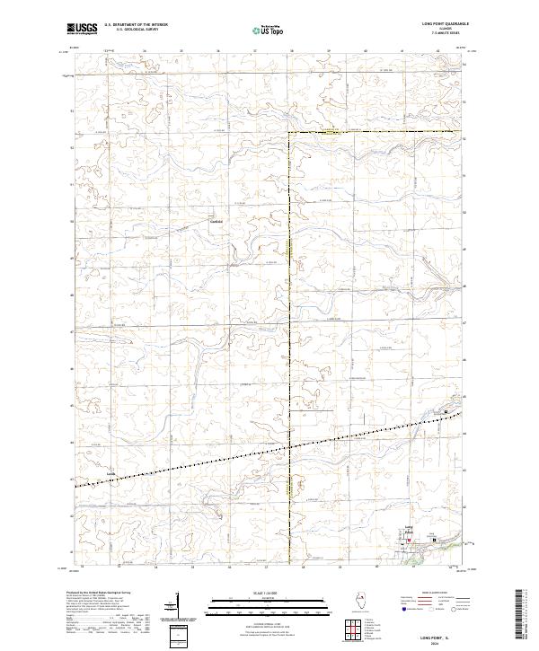
Long Point serves as the primary hub in this portion of Central Illinois, situated along the southern edge of the survey area where the Long Point Cem and Po anchor the local community. The landscape is defined by the agricultural grid and the natural drainage patterns of Moon Creek, which winds northward through the center of the sheet, and Prairie Creek, which flows toward the southeast corner near Ancona Cem. Smaller settlements like Garfield and Leeds appear as established points within the surrounding farmland, reflecting the rural character of the LaSalle and Livingston county line. The map detail highlights a dense network of local roads, such as Co Hwy 7 and the Longpoint Blacktop, that connect these isolated hamlets to the broader regional infrastructure and surrounding farmsteads.
Find a feature on this map
49 named features on this map. Tap any name to fly to it.
Don’t see what you’re looking for? This feature index may not catch every label — zoom into the map to look around manually.
Map Details
Editions of this 2024 Long Point Map
This is the sole edition of this map. No revisions or reprints were ever made.
Historical Maps of Long Point Through Time
6 maps found