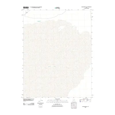
2010 Map of Long Ridge SE
USGS Topo · Published 2010About this map
Sevier Lake dominates this portion of the Great Basin, where the terminal sink and salt flat define the local hydrology of Millard County. The landscape is shaped by the lower reaches of the Sevier River, which flows toward the lake bed from the north. This 2010 survey illustrates the remote desert character of the region, featuring minimal infrastructure beyond the Stage Road Reservoir and a few local routes like 6 50. The topographic data highlights the transition from the river's path into the expansive alkali flats, providing a clear record of the area's arid geography and natural water management during the early 21st century.
Find a feature on this map
4 named features on this map. Tap any name to fly to it.
Don’t see what you’re looking for? This feature index may not catch every label — zoom into the map to look around manually.
Map Details
Editions of this 2010 Long Ridge SE Map
This is the sole edition of this map. No revisions or reprints were ever made.
Other maps of this area

1885 · Beaver
USGS Topo · 1:250,000

1885 · Sevier Desert
USGS Topo · 1:250,000

1908 · Fish Springs
USGS Topo · 1:250,000

1910 · Fish Springs
USGS Topo · 1:250,000

1953 · Richfield
USGS Topo · 1:250,000

1953 · Delta
USGS Topo · 1:250,000

1958 · Richfield
USGS Topo · 1:250,000

1958 · Delta
USGS Topo · 1:250,000

1962 · Delta
USGS Topo · 1:250,000

1971 · Red Pass
USGS Topo · 1:24,000