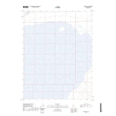
2023 Map of Long Ridge SE
USGS Topo · Published 2023About this map
Sevier Lake dominates this arid landscape in Millard County, appearing here as an expansive terminal basin where the Sevier River terminates. The geography is characterized by the vast, relatively flat expanse of the lakebed, which historically fluctuates between a dry alkali flat and a shallow saline lake depending on seasonal runoff and irrigation demands upstream. Along the northern edge of this drainage area, the Stage Road Reservoir serves as a small catchment point, reflecting the critical nature of water management in this high-desert environment. The lack of named settlements or infrastructure on this 2023 survey emphasizes the isolation of this corner of the Great Basin, where the land remains largely defined by its natural hydrographic features and the subtle contours of the surrounding desert terrain.
Find a feature on this map
3 named features on this map. Tap any name to fly to it.
Don’t see what you’re looking for? This feature index may not catch every label — zoom into the map to look around manually.
Map Details
Editions of this 2023 Long Ridge SE Map
This is the sole edition of this map. No revisions or reprints were ever made.
Other maps of this area

1885 · Beaver
USGS Topo · 1:250,000

1885 · Sevier Desert
USGS Topo · 1:250,000

1908 · Fish Springs
USGS Topo · 1:250,000

1910 · Fish Springs
USGS Topo · 1:250,000

1953 · Richfield
USGS Topo · 1:250,000

1953 · Delta
USGS Topo · 1:250,000

1958 · Richfield
USGS Topo · 1:250,000

1958 · Delta
USGS Topo · 1:250,000

1962 · Delta
USGS Topo · 1:250,000

1971 · Red Pass
USGS Topo · 1:24,000