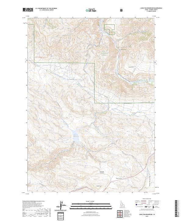
2023 Map of Long Tom Reservoir
USGS Topo · Published 2023About this map
Long Tom Reservoir sits at the heart of this high-desert and mountain landscape, where several seasonal drainages converge in Elmore County. The northern reaches are dominated by the Boise National Forest, with the South Fork Boise River carving through the northeastern corner near Indian Point and Sproule Flat. The terrain is defined by the sharp elevations of the Danskin Mountains and the Mount Bennett Hills, creating a complex network of canyons and creeks.
Find a feature on this map
38 named features on this map. Tap any name to fly to it.
Don’t see what you’re looking for? This feature index may not catch every label — zoom into the map to look around manually.
Map Details
Editions of this 2023 Long Tom Reservoir Map
This is the sole edition of this map. No revisions or reprints were ever made.
Other maps of this area

1892 · Mountain Home
USGS Topo · 1:125,000

1892 · Camas Prairie
USGS Topo · 1:125,000

1893 · Mountain Home
USGS Topo · 1:125,000

1893 · Camas Prairie
USGS Topo · 1:125,000

1955 · Hailey
USGS Topo · 1:250,000

1956 · Mountain Home North
USGS Topo · 1:24,000

1956 · Mountain Home
USGS Topo · 1:62,500
1958 · Bennett Mtn
USGS Topo · 1:62,500

1959 · Hailey
USGS Topo · 1:250,000

1960 · Danskin Peak
USGS Topo · 1:62,500