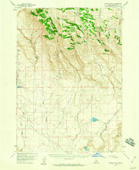
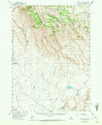
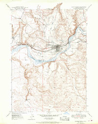
1958 Map of Bennett Mtn
USGS Topo · Published 1959About this map
Boise National Forest dominates the northern reaches of this Idaho landscape, where the high terrain of Bennett Mtn gives way to a complex network of drainages and springs. The map documents a mid-century period of land use defined by ranching outposts and water management, visible at sites like Berry Ranch and The Cottonwoods. The rugged transition from the mountains toward the Snake River plain is etched with numerous water sources, including Crater Spring, Latty Hot Spr, and Cedar Spring. Transport and utility infrastructure are marked by a prominent Pipeline and various Jeep Trails that traverse the high ridges. Noteworthy for historical research are the specific named fords such as Emigrant Crossing and Stone Crossing, which indicate traditional routes through this arid landscape long before modern paving.
Find a feature on this map
57 named features on this map. Tap any name to fly to it.
Don’t see what you’re looking for? This feature index may not catch every label — zoom into the map to look around manually.
Map Details
Editions of this 1958 Bennett Mtn Map
2 editions found
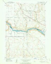
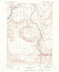
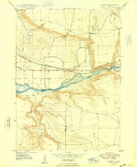
Other maps of this area

1892 · Mountain Home
USGS Topo · 1:125,000

1892 · Camas Prairie
USGS Topo · 1:125,000

1893 · Mountain Home
USGS Topo · 1:125,000

1893 · Camas Prairie
USGS Topo · 1:125,000
1947 · Indian Cove
USGS Topo · 1:24,000
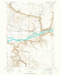
1947 · Hammett
USGS Topo · 1:24,000
1947 · Glenns Ferry
USGS Topo · 1:24,000
1947 · Pasadena Valley
USGS Topo · 1:24,000

1948 · Pasadena Valley
USGS Topo · 1:24,000
1948 · Hammett
USGS Topo · 1:24,000