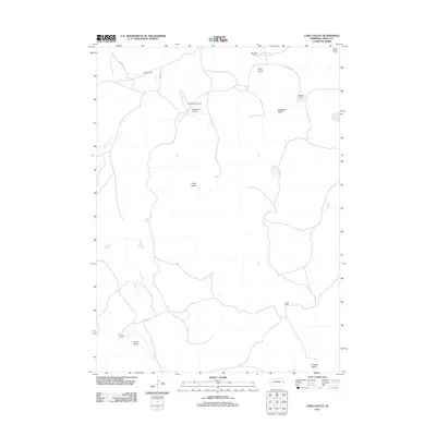
2011 Map of Long Valley
USGS Topo · Published 2011About this map
Anderson Valley and Long Valley define the open, ranch-dominated landscape of this corner of Grant County. The map documents a sparsely populated region where large family holdings such as the Boots Ranch, Bob Merrihew Ranch, and Burgess Ranch serve as the primary landmarks. These named properties are connected by a network of rural roads including S Ashby Rd and Soden Ln, reflecting the enduring cattle-ranching heritage of the Nebraska Sandhills. Small aviation outposts like the Merrihew Airport and Merry Airport punctuate the terrain, providing essential infrastructure for the isolated communities and ranching operations. To the south, the map details more specific locales such as Lowes Camp and the transition into Whaley Valley, offering a precise record of land use and family naming conventions in the early twenty-first century.
Find a feature on this map
17 named features on this map. Tap any name to fly to it.
Don’t see what you’re looking for? This feature index may not catch every label — zoom into the map to look around manually.
Map Details
Editions of this 2011 Long Valley Map
This is the sole edition of this map. No revisions or reprints were ever made.
Other maps of this area

1948 · George Lake
USGS Topo · 1:62,500

1949 · Rackett
USGS Topo · 1:62,500

1950 · Velma
USGS Topo · 1:62,500

1950 · George Lake
USGS Topo · 1:62,500

1950 · Longfellow Lake
USGS Topo · 1:62,500

1951 · Rackett
USGS Topo · 1:62,500

1954 · Scottsbluff
USGS Topo · 1:250,000

1954 · North Platte
USGS Topo · 1:250,000

1956 · North Platte
USGS Topo · 1:250,000

1957 · North Platte
USGS Topo · 1:250,000