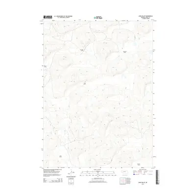
2014 Map of Long Valley
USGS Topo · Published 2014About this map
The rolling sandhills of Grant County define this landscape, where the topography is punctuated by a series of low-lying basins and depressions. Named for its central depression, Long Valley is part of a larger network of similar geographic features including Anderson Valley to the northeast and Gross Valley to the southwest. These valleys represent the characteristic terrain of the Nebraska Sandhills, often serving as critical areas for local ranching and water collection in an otherwise arid environment.
Find a feature on this map
7 named features on this map. Tap any name to fly to it.
Don’t see what you’re looking for? This feature index may not catch every label — zoom into the map to look around manually.
Map Details
Editions of this 2014 Long Valley Map
This is the sole edition of this map. No revisions or reprints were ever made.
Other maps of this area

1948 · George Lake
USGS Topo · 1:62,500

1949 · Rackett
USGS Topo · 1:62,500

1950 · Velma
USGS Topo · 1:62,500

1950 · George Lake
USGS Topo · 1:62,500

1950 · Longfellow Lake
USGS Topo · 1:62,500

1951 · Rackett
USGS Topo · 1:62,500

1954 · Scottsbluff
USGS Topo · 1:250,000

1954 · North Platte
USGS Topo · 1:250,000

1956 · North Platte
USGS Topo · 1:250,000

1957 · North Platte
USGS Topo · 1:250,000