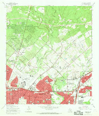
1967 Map of Longhorn
USGS Topo · Published 1969About this map
San Antonio and its northeastern suburbs expand into the limestone hills during this late-1960s survey. The landscape is a mix of rapidly developing residential tracts like Hollywood Park, Windcrest, and Kentwood Manor alongside established rural landmarks. Numerous family burial grounds, such as Classen Cem and Tampke Cem, persist amidst the encroaching city limits. The San Antonio International Airport occupies a central position, while the industrial character of the area is defined by the Longhorn Siding and various gravel pits and quarries.
Find a feature on this map
65 named features on this map. Tap any name to fly to it.
Don’t see what you’re looking for? This feature index may not catch every label — zoom into the map to look around manually.
Map Details
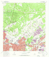
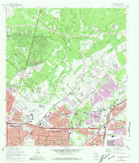
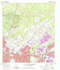
Editions of this 1967 Longhorn Map
4 editions found
Other maps of this area

1953 · Otis Ridge
USGS Topo · 1:24,000

1953 · Schertz
USGS Topo · 1:24,000

1953 · San Antonio West
USGS Topo · 1:24,000

1953 · Bulverde
USGS Topo · 1:24,000

1953 · San Antonio East
USGS Topo · 1:24,000

1953 · Bat Cave
USGS Topo · 1:24,000

1953 · Longhorn
USGS Topo · 1:24,000

1953 · Castle Hills
USGS Topo · 1:24,000

1953 · Martinez
USGS Topo · 1:24,000

1954 · San Antonio
USGS Topo · 1:250,000