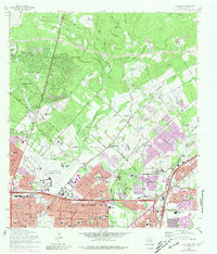
1967 Map of Longhorn
USGS Topo · Published 1981About this map
San Antonio expands northward into the ranchlands and creek valleys of Bexar County in this late-1960s survey, updated with purple revisions from the early 1970s. The landscape is a study in rapid suburbanization, where residential developments like Hollywood Park and Windcrest emerge alongside the sprawling San Antonio International Airport. Local history is preserved in sites like the Wetmore Cem and Coker Ch, which stand in contrast to the modern commerce of the North Star Mall Shopping Center. The rugged limestone geography is evident in the numerous quarries and the Robber Baron Cave near Alamo Heights Jr High Sch. Industrial infrastructure, including the Missouri Pacific Railroad and Longhorn Siding, cuts through the terrain, illustrating the region's role as a transportation hub even as the San Antonio Corporate Boundary moves further into the hills.
Find a feature on this map
75 named features on this map. Tap any name to fly to it.
Don’t see what you’re looking for? This feature index may not catch every label — zoom into the map to look around manually.
Map Details
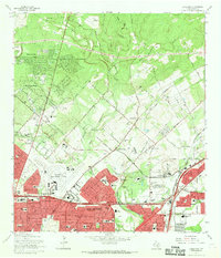
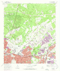
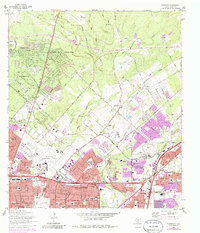
Editions of this 1967 Longhorn Map
4 editions found
Other maps of this area

1953 · Otis Ridge
USGS Topo · 1:24,000

1953 · Schertz
USGS Topo · 1:24,000

1953 · San Antonio West
USGS Topo · 1:24,000

1953 · Bulverde
USGS Topo · 1:24,000

1953 · San Antonio East
USGS Topo · 1:24,000

1953 · Bat Cave
USGS Topo · 1:24,000

1953 · Longhorn
USGS Topo · 1:24,000

1953 · Castle Hills
USGS Topo · 1:24,000

1953 · Martinez
USGS Topo · 1:24,000

1954 · San Antonio
USGS Topo · 1:250,000