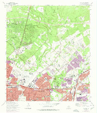
1967 Map of Longhorn
USGS Topo · Published 1975About this map
San Antonio expands northward into the brush-dotted hills of Bexar County on this mid-century topographic survey, showing a landscape in transition from rural ranchland to suburban enclave. The northern boundary of the city is clearly marked as it reaches toward established communities like Wetmore and Hill Country Village. Significant infrastructure for local aviation is visible through the Yates Landing Area, Twin Oaks Landing Strip, and Stahl Landing Strip, alongside the Missouri Pacific rail line that skirts Theis Hill. For genealogists and local historians, several family-named burial sites remain on the landscape, including Classen Cem, Tampke Cem, and Schulmeier Cem, which stand in contrast to the larger Sunset Memorial Park. The map documents the emerging residential patterns in Hollywood Park and Windcrest as they began to define the modern character of northern Bexar County.
Find a feature on this map
68 named features on this map. Tap any name to fly to it.
Don’t see what you’re looking for? This feature index may not catch every label — zoom into the map to look around manually.
Map Details
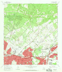
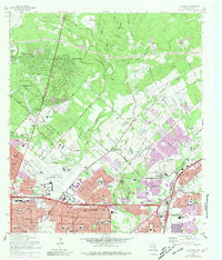
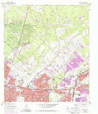
Editions of this 1967 Longhorn Map
4 editions found
Other maps of this area

1953 · Otis Ridge
USGS Topo · 1:24,000

1953 · Schertz
USGS Topo · 1:24,000

1953 · San Antonio West
USGS Topo · 1:24,000

1953 · Bulverde
USGS Topo · 1:24,000

1953 · San Antonio East
USGS Topo · 1:24,000

1953 · Bat Cave
USGS Topo · 1:24,000

1953 · Longhorn
USGS Topo · 1:24,000

1953 · Castle Hills
USGS Topo · 1:24,000

1953 · Martinez
USGS Topo · 1:24,000

1954 · San Antonio
USGS Topo · 1:250,000