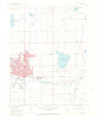
1968 Map of Longmont
USGS Topo · Published 1968About this map
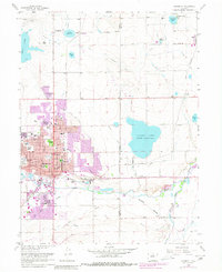
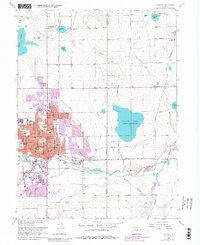
St Vrain Creek and Left-hand Creek define the southern landscape of this 1968 Boulder County study, which highlights the town of Longmont during a period of mid-century expansion. The map details the intricate irrigation network essential to the region's agricultural roots, featuring the Rough and Ready Ditch, Oligarchy Ditch, and Slough Ditch. These waterways feed numerous impoundments like Calkins Lake (Union Reservoir) and Terry Lake. Within the town, landmark locations including Roosevelt Park and the Armory stand alongside educational institutions like Central Sch. Beyond the urban core, the map captures rural life at the Grange Hall near Liberty and the Mountain States Childrens Home in the north. The presence of the Great Western and Cb & Q railroads illustrates the industrial connectivity that sustained the local economy between the plains and the Front Range.
Find a feature on this map
54 named features on this map. Tap any name to fly to it.
Don’t see what you’re looking for? This feature index may not catch every label — zoom into the map to look around manually.
Map Details
Editions of this 1968 Longmont Map
6 editions found
Other maps of this area

1902 · Greeley
USGS Topo · 1:125,000

1904 · Niwot
USGS Topo · 1:62,500

1906 · Loveland
USGS Topo · 1:62,500

1908 · Loveland
USGS Topo · 1:62,500

1949 · Gowanda
USGS Topo · 1:24,000

1950 · Frederick
USGS Topo · 1:24,000

1950 · Gowanda
USGS Topo · 1:24,000

1950 · Hygiene
USGS Topo · 1:24,000
1950 · Erie
USGS Topo · 1:24,000

1950 · Niwot
USGS Topo · 1:24,000