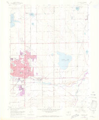
1968 Map of Longmont
USGS Topo · Published 1973About this map
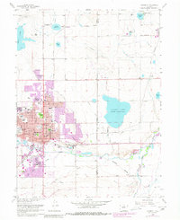
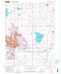
The agricultural landscape of Northern Colorado meets the expanding urban footprint of Longmont on this 1968 survey, which includes later 1971 revisions. Significant water management infrastructure, essential for local farming, is evidenced by Calkins Lake (Union Reservoir) and several smaller basins like Divide Reservoir and Mead Reservoir. The eastern edge of Longmont shows the town's growth through a concentration of schools such as Mountain View Sch and civic landmarks like the Armory and Roosevelt Park.
Find a feature on this map
53 named features on this map. Tap any name to fly to it.
Don’t see what you’re looking for? This feature index may not catch every label — zoom into the map to look around manually.
Map Details
Editions of this 1968 Longmont Map
6 editions found
Other maps of this area

1902 · Greeley
USGS Topo · 1:125,000

1904 · Niwot
USGS Topo · 1:62,500

1906 · Loveland
USGS Topo · 1:62,500

1908 · Loveland
USGS Topo · 1:62,500

1949 · Gowanda
USGS Topo · 1:24,000

1950 · Frederick
USGS Topo · 1:24,000

1950 · Gowanda
USGS Topo · 1:24,000

1950 · Hygiene
USGS Topo · 1:24,000
1950 · Erie
USGS Topo · 1:24,000

1950 · Niwot
USGS Topo · 1:24,000