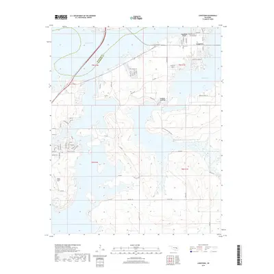
2018 Map of Longtown
USGS Topo · Published 2018About this map
Eufaula Lake dominates this landscape, its intricate shoreline creating numerous peninsulas and inlets across the boundary of McIntosh and Pittsburg counties. The settlement of Longtown is situated near the northern edge, where Canadian Fork meets the lake's expansive waters. To the south, the master-planned community of Carlton Landing appears with its distinct grid and Carlton Landing Field. This map documents a modern recreational and residential landscape, shaped by the massive reservoir.
Find a feature on this map
71 named features on this map. Tap any name to fly to it.
Don’t see what you’re looking for? This feature index may not catch every label — zoom into the map to look around manually.
Map Details
Editions of this 2018 Longtown Map
This is the sole edition of this map. No revisions or reprints were ever made.
Other maps of this area

1900 · Sansbois
USGS Topo · 1:125,000

1900 · Canadian
USGS Topo · 1:125,000

1909 · Sans Bois
USGS Topo · 1:125,000

1911 · Sansbois
USGS Topo · 1:125,000

1946 · Fort Smith
USGS Topo · 1:250,000

1963 · Stidham
USGS Topo · 1:24,000

1963 · Eufaula
USGS Topo · 1:24,000

1963 · Texanna
USGS Topo · 1:24,000

1965 · Fort Smith
USGS Topo · 1:250,000

1967 · Fort Smith
USGS Topo · 1:250,000