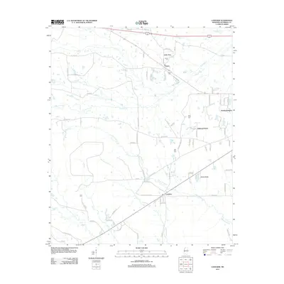
2012 Map of Longview
USGS Topo · Published 2012About this map
Longview and Adaton serve as central points in this Oktibbeha County landscape, where the rural character of northern Mississippi is defined by an intricate network of creeks and small residential clusters. The land is drained by numerous waterways including Talking Warrior Cr, Trim Cane Cr, and Chinchahoma Cr, which dictate the placement of roads like Longview Adaton Rd. Local history is preserved in several burial grounds, such as Adaton Cem, Josey Creek Cem, and the enigmatically named Lost Cem west of Little Cr. The growth of residential subdivisions like Oakwood Estates and Green Acres along the major thoroughfares contrasts with the more traditional settlement patterns of Valley View. This 2012 survey illustrates the modern road infrastructure, featuring Post Office Rd and Old Highway 12, which connect these dispersed communities.
Find a feature on this map
78 named features on this map. Tap any name to fly to it.
Don’t see what you’re looking for? This feature index may not catch every label — zoom into the map to look around manually.
Map Details
Editions of this 2012 Longview Map
This is the sole edition of this map. No revisions or reprints were ever made.
Other maps of this area

1953 · West Point
USGS Topo · 1:250,000

1958 · West Point
USGS Topo · 1:250,000

1959 · Pheba
USGS Topo · 1:62,500

1963 · West Point
USGS Topo · 1:250,000

1965 · Starkville
USGS Topo · 1:24,000

1965 · Bluff Lake
USGS Topo · 1:24,000

1965 · Longview
USGS Topo · 1:24,000

1965 · Bradley
USGS Topo · 1:24,000

1972 · Maben
USGS Topo · 1:24,000

1972 · Double Springs
USGS Topo · 1:24,000