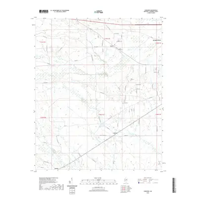
2020 Map of Longview
USGS Topo · Published 2020About this map
Longview and the western outskirts of Starkville anchor this western portion of Oktibbeha County, where the landscape is defined by a dense network of creek drainages and rural communities. The survey details a region where small-town centers like Adaton and Bradley are connected by a web of local roads such as New Light Rd and Adaton-Longview Rd. This area is characterized by several family and community burial sites, including Adaton Methodist Cem, Adaton Baptist Cem, and the uniquely named Lost Cem.
Find a feature on this map
70 named features on this map. Tap any name to fly to it.
Don’t see what you’re looking for? This feature index may not catch every label — zoom into the map to look around manually.
Map Details
Editions of this 2020 Longview Map
This is the sole edition of this map. No revisions or reprints were ever made.
Other maps of this area

1953 · West Point
USGS Topo · 1:250,000

1958 · West Point
USGS Topo · 1:250,000

1959 · Pheba
USGS Topo · 1:62,500

1963 · West Point
USGS Topo · 1:250,000

1965 · Starkville
USGS Topo · 1:24,000

1965 · Bluff Lake
USGS Topo · 1:24,000

1965 · Longview
USGS Topo · 1:24,000

1965 · Bradley
USGS Topo · 1:24,000

1972 · Maben
USGS Topo · 1:24,000

1972 · Double Springs
USGS Topo · 1:24,000