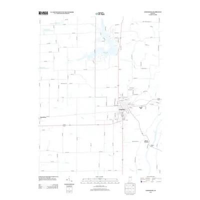
2013 Map of Loogootee
USGS Topo · Published 2013About this map
Loogootee serves as the primary hub of this Martin County landscape, where the street grid of the town center meets a network of regional roads including Old Hwy 50. The surrounding terrain is defined by its water management and agricultural character, featuring several flood control structures such as Prairie Creek Structure Number A-2-1 and the expansive West Boggs Lake to the north. These man-made features contrast with the natural winding course of the E Fork White River in the southeast, where the Houghton Bridge crosses the water.
Find a feature on this map
123 named features on this map. Tap any name to fly to it.
Don’t see what you’re looking for? This feature index may not catch every label — zoom into the map to look around manually.
Map Details
Editions of this 2013 Loogootee Map
This is the sole edition of this map. No revisions or reprints were ever made.
Other maps of this area

1943 · Epsom
USGS Topo · 1:24,000

1944 · Montgomery
USGS Topo · 1:24,000

1944 · Glendale
USGS Topo · 1:24,000

1950 · Shoals
USGS Topo · 1:24,000

1950 · Odon
USGS Topo · 1:24,000

1956 · Alfordsville
USGS Topo · 1:24,000

1956 · Loogootee
USGS Topo · 1:24,000

1956 · Rusk
USGS Topo · 1:24,000

1956 · Indian Springs
USGS Topo · 1:24,000

1956 · Vincennes
USGS Topo · 1:250,000