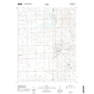
2019 Map of Loogootee
USGS Topo · Published 2019About this map
Loogootee serves as the central hub of this Indiana landscape, situated on the border of Daviess and Martin counties. The town's grid is defined by the CSX railroad corridor and a network of historic streets including Vincennes St and SW 2nd St. To the west, the smaller community of Cannelburg sits along the same rail line, reflecting the industrial and transport-oriented development of the region.
Find a feature on this map
91 named features on this map. Tap any name to fly to it.
Don’t see what you’re looking for? This feature index may not catch every label — zoom into the map to look around manually.
Map Details
Editions of this 2019 Loogootee Map
This is the sole edition of this map. No revisions or reprints were ever made.
Other maps of this area

1943 · Epsom
USGS Topo · 1:24,000

1944 · Montgomery
USGS Topo · 1:24,000

1944 · Glendale
USGS Topo · 1:24,000

1950 · Shoals
USGS Topo · 1:24,000

1950 · Odon
USGS Topo · 1:24,000

1956 · Alfordsville
USGS Topo · 1:24,000

1956 · Loogootee
USGS Topo · 1:24,000

1956 · Rusk
USGS Topo · 1:24,000

1956 · Indian Springs
USGS Topo · 1:24,000

1956 · Vincennes
USGS Topo · 1:250,000