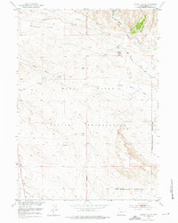
1951 Map of Lookout Butte
USGS Topo · Published 1976About this map
The Wind River Indian Reservation dominates this central Wyoming landscape, where the arid terrain is defined by dramatic geological features and early reclamation efforts. Much of the southeastern portion falls within the Riverton Reclamation Project (Withdrawal Area), reflecting the mid-century push to manage water resources in the Missouri River Basin. The topography is characterized by expansive plateaus like Wildhorse Flats and Mexican Flat, punctuated by the sharp rise of Pavillion Ridge.
Find a feature on this map
14 named features on this map. Tap any name to fly to it.
Don’t see what you’re looking for? This feature index may not catch every label — zoom into the map to look around manually.
Map Details
Editions of this 1951 Lookout Butte Map
2 editions found
Other maps of this area

1950 · Pavillion
USGS Topo · 1:24,000

1950 · Pavillion Butte
USGS Topo · 1:24,000

1950 · Shotgun Butte
USGS Topo · 1:24,000

1951 · Lookout Butte SW
USGS Topo · 1:24,000

1951 · Eagle Point
USGS Topo · 1:24,000

1951 · Morton
USGS Topo · 1:24,000

1951 · Lookout Butte
USGS Topo · 1:24,000

1951 · Argo Butte
USGS Topo · 1:24,000

1951 · Maverick Spring
USGS Topo · 1:24,000

1955 · Thermopolis
USGS Topo · 1:250,000