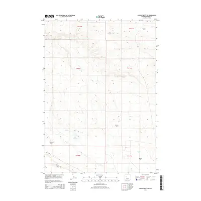
2015 Map of Lookout Butte SW
USGS Topo · Published 2015About this map
Steamboat Butte and Stagner Ridge dominate this high-desert landscape in Fremont County, where water management is central to the terrain's history. The presence of Hayes Ditch and Hayes Reservoir illustrates the engineering required to support activity across Wildhorse Flats. Further south, the landscape is defined by seasonal drainages such as Dry Cr and the distinctively named Water Rocks Draw, while Mexican Draw leads toward Mexican Flat. A notable geological curiosity appears in the southeastern quadrant with the location of Steamboat Geyser. Infrastructure is limited, with Burris Lenore Rd providing one of the few primary access routes through this expanse of public and private lands.
Find a feature on this map
17 named features on this map. Tap any name to fly to it.
Don’t see what you’re looking for? This feature index may not catch every label — zoom into the map to look around manually.
Map Details
Editions of this 2015 Lookout Butte SW Map
This is the sole edition of this map. No revisions or reprints were ever made.
Other maps of this area

1951 · Lookout Butte SW
USGS Topo · 1:24,000

1951 · Eagle Point
USGS Topo · 1:24,000

1951 · Morton
USGS Topo · 1:24,000

1951 · Bull Lake East
USGS Topo · 1:24,000

1951 · Lookout Butte
USGS Topo · 1:24,000

1951 · Argo Butte
USGS Topo · 1:24,000

1951 · Maverick Spring
USGS Topo · 1:24,000

1952 · Crowheart Butte
USGS Topo · 1:24,000

1952 · Crowheart NE
USGS Topo · 1:24,000

1955 · Thermopolis
USGS Topo · 1:250,000