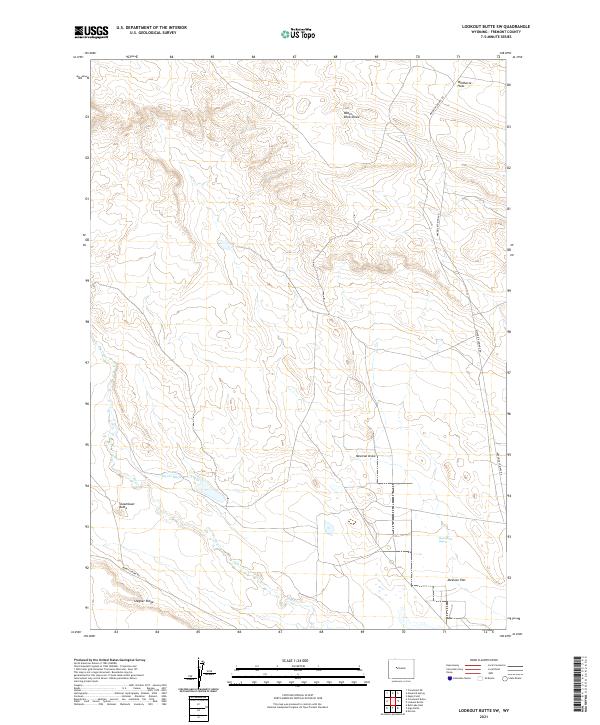
2021 Map of Lookout Butte SW
USGS Topo · Published 2021About this map
Steamboat Butte and the surrounding high plains of Fremont County are defined by a complex network of ephemeral watercourses and irrigation infrastructure. The landscape transitions from the elevated Stagner Ridge in the south toward the expansive Wildhorse Flats to the north. Water management is central to this environment, evidenced by the Hayes Ditch traversing the southern sections and unique geothermal features like the Steamboat Geyser located near Mexican Flat. Transportation in this portion of the Wind River Basin relies on established routes such as Maverick Springs Rd and Burris-Lenore Rd, which navigate the drainages of Mexican Draw and Water Rocks Draw. The map provides a clear record of the Public Land Survey System township and range lines that have shaped the rural development of this high-desert region.
Find a feature on this map
17 named features on this map. Tap any name to fly to it.
Don’t see what you’re looking for? This feature index may not catch every label — zoom into the map to look around manually.
Map Details
Editions of this 2021 Lookout Butte SW Map
This is the sole edition of this map. No revisions or reprints were ever made.
Other maps of this area

1951 · Lookout Butte SW
USGS Topo · 1:24,000

1951 · Eagle Point
USGS Topo · 1:24,000

1951 · Morton
USGS Topo · 1:24,000

1951 · Bull Lake East
USGS Topo · 1:24,000

1951 · Lookout Butte
USGS Topo · 1:24,000

1951 · Argo Butte
USGS Topo · 1:24,000

1951 · Maverick Spring
USGS Topo · 1:24,000

1952 · Crowheart Butte
USGS Topo · 1:24,000

1952 · Crowheart NE
USGS Topo · 1:24,000

1955 · Thermopolis
USGS Topo · 1:250,000