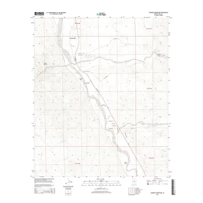
2014 Map of Lookout Mountain
USGS Topo · Published 2014About this map
Dudleyville sits at the northern edge of this high-desert landscape where the San Pedro River valley meets the rugged slopes of Lookout Mountain. The settlement pattern follows the fertile river corridor and the winding course of Az-77, while the eastern reaches of the map are defined by the dramatic entry to Aravaipa Canyon. This area is characterized by a complex network of seasonal drainages, including Camp Grant Wash and Javelina Wash, which illustrate the arid climate and the way water shapes the local topography. Residential development is clustered along named streets like E Palomita Rd and S Hillsdale Rd, while much of the surrounding terrain remains open, revealing the intricate desert wash systems such as Capgage Wash and Pearl Wash. The map documents a period of modern connectivity, showing the grid-like township and range boundaries of t7s r16e and t7s r17e overlaid on the natural desert floor.
Find a feature on this map
31 named features on this map. Tap any name to fly to it.
Don’t see what you’re looking for? This feature index may not catch every label — zoom into the map to look around manually.
Map Details
Editions of this 2014 Lookout Mountain Map
This is the sole edition of this map. No revisions or reprints were ever made.
Other maps of this area

1911 · Winkelman
USGS Topo · 1:125,000

1913 · Winkelman
USGS Topo · 1:125,000

1948 · Clark Ranch
USGS Topo · 1:24,000

1948 · Mammoth
USGS Topo · 1:62,500

1948 · Mammoth
USGS Topo · 1:24,000

1949 · Clark Ranch
USGS Topo · 1:24,000

1949 · Mammoth
USGS Topo · 1:24,000

1949 · Holy Joe Peak
USGS Topo · 1:62,500

1949 · Winkelman
USGS Topo · 1:24,000

1949 · Winkelman
USGS Topo · 1:62,500