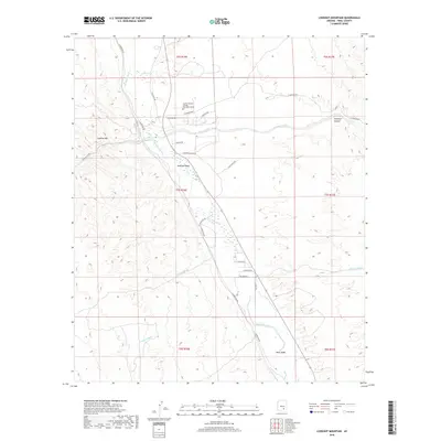
2018 Map of Lookout Mountain
USGS Topo · Published 2018About this map
The San Pedro River corridor serves as the central artery for this part of Pinal County, where seasonal drainage from numerous washes like Pearl Wash and Javelina Wash flows toward the primary valley. This 2018 survey captures the intersection of desert education and rugged terrain, anchored by the Central Arizona College Aravaipa Campus situated near the confluence of Aravaipa Cr and the river.
Find a feature on this map
32 named features on this map. Tap any name to fly to it.
Don’t see what you’re looking for? This feature index may not catch every label — zoom into the map to look around manually.
Map Details
Editions of this 2018 Lookout Mountain Map
This is the sole edition of this map. No revisions or reprints were ever made.
Other maps of this area

1911 · Winkelman
USGS Topo · 1:125,000

1913 · Winkelman
USGS Topo · 1:125,000

1948 · Clark Ranch
USGS Topo · 1:24,000

1948 · Mammoth
USGS Topo · 1:62,500

1948 · Mammoth
USGS Topo · 1:24,000

1949 · Clark Ranch
USGS Topo · 1:24,000

1949 · Mammoth
USGS Topo · 1:24,000

1949 · Holy Joe Peak
USGS Topo · 1:62,500

1949 · Winkelman
USGS Topo · 1:24,000

1949 · Winkelman
USGS Topo · 1:62,500