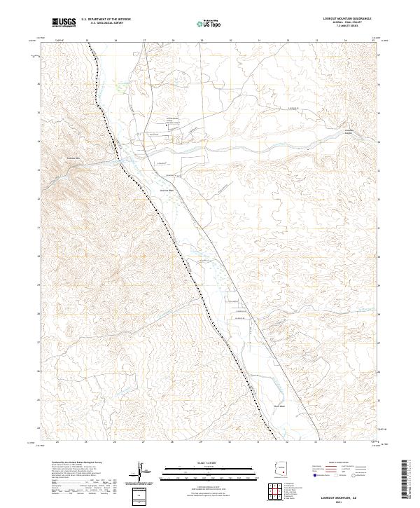
2021 Map of Lookout Mountain
USGS Topo · Published 2021About this map
The Central Arizona College Aravaipa Campus sits at a geographic crossroads where the San Pedro River meets the drainages of Aravaipa Cr. This modern survey illustrates the intricate network of desert washes that define the Pinal County landscape, including Javelina Wash, Camp Grant Wash, and Capgage Wash. These seasonal watercourses carve through the terrain surrounding Lookout Mtn, descending toward the river valley where Cooks Lake provides a distinct riparian marker.
Find a feature on this map
35 named features on this map. Tap any name to fly to it.
Don’t see what you’re looking for? This feature index may not catch every label — zoom into the map to look around manually.
Map Details
Editions of this 2021 Lookout Mountain Map
This is the sole edition of this map. No revisions or reprints were ever made.
Other maps of this area

1911 · Winkelman
USGS Topo · 1:125,000

1913 · Winkelman
USGS Topo · 1:125,000

1948 · Clark Ranch
USGS Topo · 1:24,000

1948 · Mammoth
USGS Topo · 1:62,500

1948 · Mammoth
USGS Topo · 1:24,000

1949 · Clark Ranch
USGS Topo · 1:24,000

1949 · Mammoth
USGS Topo · 1:24,000

1949 · Holy Joe Peak
USGS Topo · 1:62,500

1949 · Winkelman
USGS Topo · 1:24,000

1949 · Winkelman
USGS Topo · 1:62,500