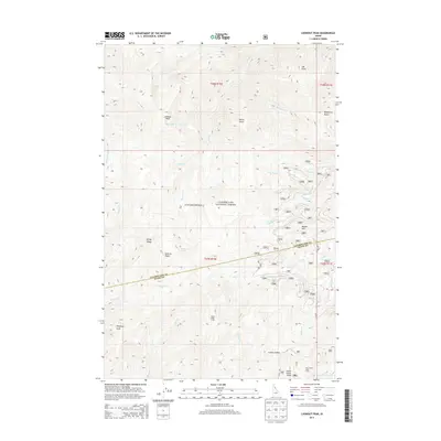
2013 Map of Lookout Peak
USGS Topo · Published 2013About this map
Lookout Peak stands at the center of this high-elevation landscape within the Clearwater National Forest, where the complex drainage systems of the Bitterroot region define the terrain. The map traces the county line between Clearwater and Idaho Counties as it follows the heights of Windy Ridge. This remote area is characterized by seasonal camps and high-mountain basins, such as Little Cabin Meadows and the curiously named The Sinque Hole Camp. Water features are abundant at these upper reaches, including Lookout Lake and Gem Lake, which feed the many creeks like Raspberry Cr and Shin Tangle Cr flowing toward the valleys. The network of Forest Service routes, such as Mire Creek Rd and RD 107, provides the primary access to notable landmarks like 12 Mile Saddle and Indian Grave Peak.
Find a feature on this map
39 named features on this map. Tap any name to fly to it.
Don’t see what you’re looking for? This feature index may not catch every label — zoom into the map to look around manually.
Map Details
Editions of this 2013 Lookout Peak Map
This is the sole edition of this map. No revisions or reprints were ever made.
Other maps of this area

1911 · Lolo
USGS Topo · 1:250,000

1913 · Lolo
USGS Topo · 1:250,000

1956 · Hamilton
USGS Topo · 1:250,000

1959 · Hamilton
USGS Topo · 1:250,000

1960 · Hamilton
USGS Topo · 1:250,000

1964 · Hamilton
USGS Topo · 1:250,000

1965 · Junction Mtn
USGS Topo · 1:24,000

1965 · Scurvy Mtn.
USGS Topo · 1:24,000

1965 · Gorman Hill
USGS Topo · 1:24,000

1965 · Lookout Peak
USGS Topo · 1:24,000