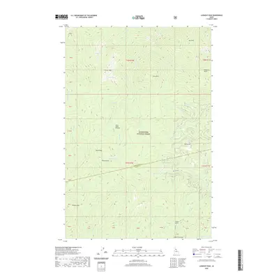
2020 Map of Lookout Peak
USGS Topo · Published 2020About this map
Clearwater National Forest dominates this high-elevation landscape along the border of Idaho and Clearwater counties. The area is defined by a dense network of mountain peaks and water sources, including the namesake Lookout Peak and nearby Lookout Lake. The topography is documented by the presence of Little Cabin Meadows and strategic passage points such as 12 Mile Saddle, which sits near the southern edge of the quadrangle. Hydrological patterns are intricate, with drainages like Monroe Creek, Mire Creek, and Indian Grave Creek carving through the steep terrain. Human access is limited to primitive routes like Mire Creek Rd and RD 587, indicating the specialized nature of this backcountry region. Named summits such as Porphyry Peak and Indian Grave Peak provide distinct landmarks for navigating this wilderness, while smaller alpine waters like Gem Lake and Monroe Lake dot the upper elevations.
Find a feature on this map
39 named features on this map. Tap any name to fly to it.
Don’t see what you’re looking for? This feature index may not catch every label — zoom into the map to look around manually.
Map Details
Editions of this 2020 Lookout Peak Map
This is the sole edition of this map. No revisions or reprints were ever made.
Other maps of this area

1911 · Lolo
USGS Topo · 1:250,000

1913 · Lolo
USGS Topo · 1:250,000

1956 · Hamilton
USGS Topo · 1:250,000

1959 · Hamilton
USGS Topo · 1:250,000

1960 · Hamilton
USGS Topo · 1:250,000

1964 · Hamilton
USGS Topo · 1:250,000

1965 · Junction Mtn
USGS Topo · 1:24,000

1965 · Scurvy Mtn.
USGS Topo · 1:24,000

1965 · Gorman Hill
USGS Topo · 1:24,000

1965 · Lookout Peak
USGS Topo · 1:24,000