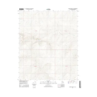
2016 Map of Lookout Ridge B-1 SE
USGS Topo · Published 2016About this map
Kigalik River meanders across this northern interior landscape, carving a subtle path through the treeless expanse of the North Slope. The terrain is defined by a dense network of contour lines, illustrating the steady elevation changes of the Lookout Ridge B-1 SE quadrangle. Unlike the developed coastal regions or industrial hubs, this area remains characterized by its topographical isolation and the raw hydrology of the Arctic watershed. The map precisely documents the Public Land Survey System boundaries, including the intersection of t1s r18w, t1s r17w, t2s r18w, and t2s r17w, providing a detailed framework for researchers interested in land management and remote surveying history in this part of Alaska.
Find a feature on this map
5 named features on this map. Tap any name to fly to it.
Don’t see what you’re looking for? This feature index may not catch every label — zoom into the map to look around manually.
Map Details
Editions of this 2016 Lookout Ridge B-1 SE Map
This is the sole edition of this map. No revisions or reprints were ever made.
Other maps of this area

1951 · Lookout Ridge
USGS Topo · 1:250,000

1951 · Ikpikpuk River
USGS Topo · 1:250,000

1956 · Lookout Ridge
USGS Topo · 1:250,000

1956 · Ikpikpuk River
USGS Topo · 1:250,000
1984 · Lookout Ridge A-1
USGS Topo · 1:63,360
1984 · Ikpikpuk River A-5
USGS Topo · 1:63,360
1985 · Lookout Ridge B-1
USGS Topo · 1:63,360
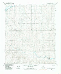
1985 · Ikpikpuk River B-5
USGS Topo · 1:63,360
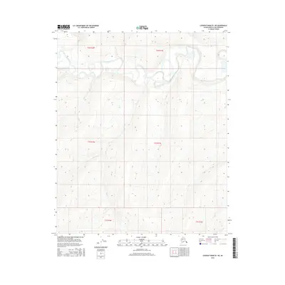
2016 · Lookout Ridge B-1 NE
USGS Topo · 1:25,000
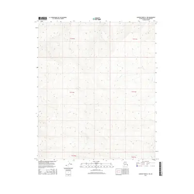
2016 · Lookout Ridge A-1 NE
USGS Topo · 1:25,000