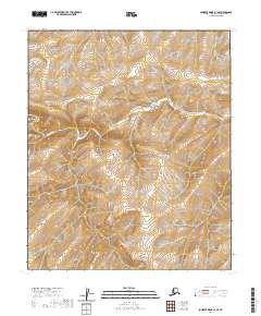
2020 Map of Lookout Ridge B-1 SE
USGS Topo · Published 2020About this map
Kigalik River meanders across this landscape in the North Slope region, defining the primary drainage pattern for the surrounding terrain. This U.S. Geological Survey study captures a remote section of the Alaskan interior where the river's path is the dominant natural landmark. The map detail reflects the Public Land Survey System divisions for portions of t1s r18w, t1s r17w, t2s r18w, and t2s r17w. The absence of roads or established settlements emphasizes the wilderness character of the area, providing a clear record of the untouched topography and hydrological flow of the northern tundra during the early twenty-first century.
Find a feature on this map
5 named features on this map. Tap any name to fly to it.
Don’t see what you’re looking for? This feature index may not catch every label — zoom into the map to look around manually.
Map Details
Editions of this 2020 Lookout Ridge B-1 SE Map
This is the sole edition of this map. No revisions or reprints were ever made.
Other maps of this area

1951 · Lookout Ridge
USGS Topo · 1:250,000

1951 · Ikpikpuk River
USGS Topo · 1:250,000

1956 · Lookout Ridge
USGS Topo · 1:250,000

1956 · Ikpikpuk River
USGS Topo · 1:250,000
1984 · Lookout Ridge A-1
USGS Topo · 1:63,360
1984 · Ikpikpuk River A-5
USGS Topo · 1:63,360
1985 · Lookout Ridge B-1
USGS Topo · 1:63,360
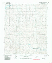
1985 · Ikpikpuk River B-5
USGS Topo · 1:63,360
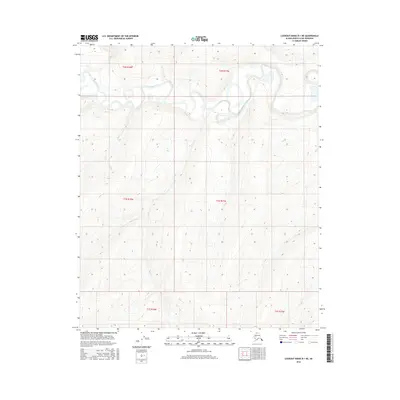
2016 · Lookout Ridge B-1 NE
USGS Topo · 1:25,000

2016 · Lookout Ridge A-1 NE
USGS Topo · 1:25,000