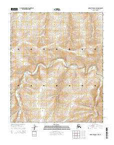
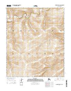
2014 Map of Lookout Ridge C-4 SW
USGS Topo · Published 2014About this map
Meade River meanders across this Arctic landscape in the North Slope Borough, carving a serpentine path through a region defined by high-latitude hydrology and relief. The terrain is marked by the prominent Kulugra Ridge, which provides a topographical anchor in a wilderness area devoid of permanent human settlements or infrastructure. The waterway network is further defined by the Kaksu River and the smaller Lili Cr, illustrating the complex drainage patterns of the Alaskan tundra during this 2014 survey. This map reveals the raw natural geography of the North Slope, where seasonal water flow and geological features like the ridge line are the primary landmarks for navigation and land management.
Find a feature on this map
8 named features on this map. Tap any name to fly to it.
Don’t see what you’re looking for? This feature index may not catch every label — zoom into the map to look around manually.
Map Details
Editions of this 2014 Lookout Ridge C-4 SW Map
This is the sole edition of this map. No revisions or reprints were ever made.
Other maps of this area

1951 · Lookout Ridge
USGS Topo · 1:250,000

1956 · Lookout Ridge
USGS Topo · 1:250,000
1984 · Lookout Ridge C-5
USGS Topo · 1:63,360
1984 · Lookout Ridge C-4
USGS Topo · 1:63,360
1985 · Lookout Ridge B-5
USGS Topo · 1:63,360
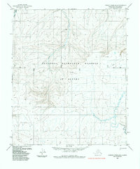
1985 · Lookout Ridge B-4
USGS Topo · 1:63,360
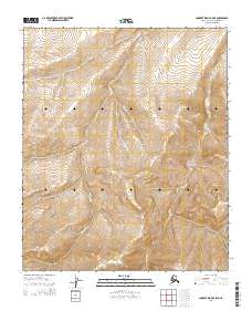
2014 · Lookout Ridge B-5 NE
USGS Topo · 1:25,000
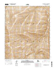
2014 · Lookout Ridge B-4 NW
USGS Topo · 1:25,000
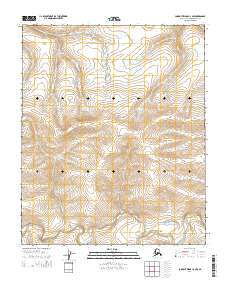
2014 · Lookout Ridge C-4 NW
USGS Topo · 1:25,000
2014 · Lookout Ridge C-5 SE
USGS Topo · 1:25,000