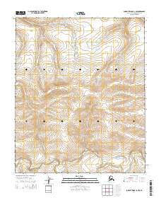
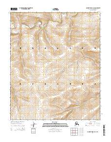
2014 Map of Lookout Ridge C-4 NW
USGS Topo · Published 2014About this map
Shaningarok Ridge forms the central topographic backbone of this northern wilderness, a persistent upland feature that dictates the drainage patterns of the surrounding landscape. The area is defined by its isolation and the intricate network of watercourses, most notably Shaningarok Cr, which meanders through the southern sections of the survey. As part of the North Slope Borough, the terrain documented here illustrates the vast, undeveloped character of the Arctic tundra. The mapping of the various township and range boundaries, including t4n r26w and t5n r25w, highlights the systematic surveying of this remote region, where natural features remain the primary landmarks in an otherwise unpopulated expanse of the Alaska frontier.
Find a feature on this map
8 named features on this map. Tap any name to fly to it.
Don’t see what you’re looking for? This feature index may not catch every label — zoom into the map to look around manually.
Map Details
Editions of this 2014 Lookout Ridge C-4 NW Map
This is the sole edition of this map. No revisions or reprints were ever made.
Other maps of this area

1951 · Lookout Ridge
USGS Topo · 1:250,000

1956 · Lookout Ridge
USGS Topo · 1:250,000
1984 · Lookout Ridge D-5
USGS Topo · 1:63,360
1984 · Lookout Ridge D-4
USGS Topo · 1:63,360
1984 · Lookout Ridge C-5
USGS Topo · 1:63,360
1984 · Lookout Ridge C-4
USGS Topo · 1:63,360
2014 · Lookout Ridge D-4 SW
USGS Topo · 1:25,000
2014 · Lookout Ridge C-4 SW
USGS Topo · 1:25,000
2014 · Lookout Ridge D-5 SE
USGS Topo · 1:25,000
2014 · Lookout Ridge C-5 SE
USGS Topo · 1:25,000