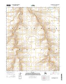
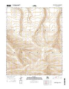
2014 Map of Lookout Ridge D-5 SE
USGS Topo · Published 2014About this map
The vast expanse of the North Slope's arctic tundra is defined here by the meticulous grid of the Public Land Survey System, as documented in 2014. This landscape is partitioned by the boundaries of T6n R27w, T6n R26w, T5n R27w, and T5n R26w. The terrain is characterized by subtle elevation changes and the intricate drainage patterns typical of the Alaskan wilderness. Without named settlements or roads, the map focuses on the raw topography and the legal subdivisions of the land. It provides a foundational look at the region's geography before significant human infrastructure appeared on these specific coordinates, serving as an essential reference for understanding the spatial organization of this part of the borough.
Find a feature on this map
4 named features on this map. Tap any name to fly to it.
Don’t see what you’re looking for? This feature index may not catch every label — zoom into the map to look around manually.
Map Details
Editions of this 2014 Lookout Ridge D-5 SE Map
This is the sole edition of this map. No revisions or reprints were ever made.
Other maps of this area

1951 · Lookout Ridge
USGS Topo · 1:250,000

1956 · Lookout Ridge
USGS Topo · 1:250,000
1984 · Lookout Ridge D-5
USGS Topo · 1:63,360
1984 · Lookout Ridge D-4
USGS Topo · 1:63,360
1984 · Lookout Ridge C-5
USGS Topo · 1:63,360
1984 · Lookout Ridge C-4
USGS Topo · 1:63,360
2014 · Lookout Ridge D-5 NW
USGS Topo · 1:25,000
2014 · Lookout Ridge D-4 NW
USGS Topo · 1:25,000
2014 · Lookout Ridge D-4 SW
USGS Topo · 1:25,000
2014 · Lookout Ridge C-5 NW
USGS Topo · 1:25,000