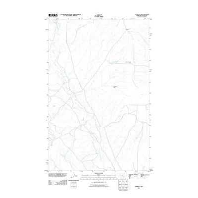
2011 Map of Lookout
USGS Topo · Published 2011About this map
Lookout sits at a crossroads in the northeastern corner of this landscape, overlooking the rolling terrain of the Calderwood Hills. The area is defined by a dendritic network of drainage systems, most notably Porcupine Creek which winds through the central and southern portions of the map. This 2011 survey captures a rural Montana environment where water management is critical for ranching and land use, evidenced by the presence of the Middle Reservoir and the Bobsland Dam. Smaller water sources like Olson Springs and Potter Spring are scattered across the quadrangle, serving as vital points in an otherwise arid expanse. In the far northwest, Dry Fork Creek enters the frame, completing a picture of a remote grazing territory mapped with modern precision.
Find a feature on this map
8 named features on this map. Tap any name to fly to it.
Don’t see what you’re looking for? This feature index may not catch every label — zoom into the map to look around manually.
Map Details
Editions of this 2011 Lookout Map
This is the sole edition of this map. No revisions or reprints were ever made.
Other maps of this area

1918 · Porcupine Valley
USGS Topo · 1:62,500

1919 · Boundary
USGS Topo · 1:125,000

1943 · Glasgow
USGS Topo · 1:125,000

1954 · Glasgow
USGS Topo · 1:250,000

1957 · Glasgow
USGS Topo · 1:250,000

1958 · Glasgow
USGS Topo · 1:250,000

1969 · Chapman Coulee NE
USGS Topo · 1:24,000

1969 · Hawk Coulee
USGS Topo · 1:24,000

1973 · Baylor SE
USGS Topo · 1:24,000

1973 · Cameron Point
USGS Topo · 1:24,000