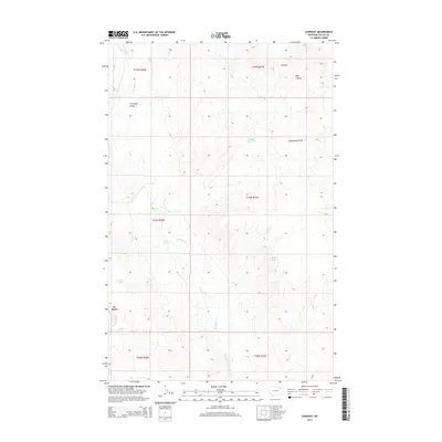
2014 Map of Lookout
USGS Topo · Published 2014About this map
St. Marie anchors the southwestern edge of this northern plains landscape, situated near the headwaters of the winding Porcupine Cr. The terrain is characterized by the distinct drainages of Porcupine Valley and the neighboring Calderwood Hills to the east. This 2014 survey reveals a sparsely populated region of Valley County where water management is critical to the local geography, evidenced by the central Middle Reservoir and natural water sources like Olson Springs and Potter Spring.
Find a feature on this map
16 named features on this map. Tap any name to fly to it.
Don’t see what you’re looking for? This feature index may not catch every label — zoom into the map to look around manually.
Map Details
Editions of this 2014 Lookout Map
This is the sole edition of this map. No revisions or reprints were ever made.
Other maps of this area

1918 · Porcupine Valley
USGS Topo · 1:62,500

1919 · Boundary
USGS Topo · 1:125,000

1943 · Glasgow
USGS Topo · 1:125,000

1954 · Glasgow
USGS Topo · 1:250,000

1957 · Glasgow
USGS Topo · 1:250,000

1958 · Glasgow
USGS Topo · 1:250,000

1969 · Chapman Coulee NE
USGS Topo · 1:24,000

1969 · Hawk Coulee
USGS Topo · 1:24,000

1973 · Baylor SE
USGS Topo · 1:24,000

1973 · Cameron Point
USGS Topo · 1:24,000